2024 Map of Iowa
USGS Topo · Published 2024About this map
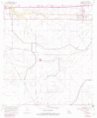
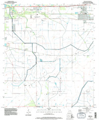
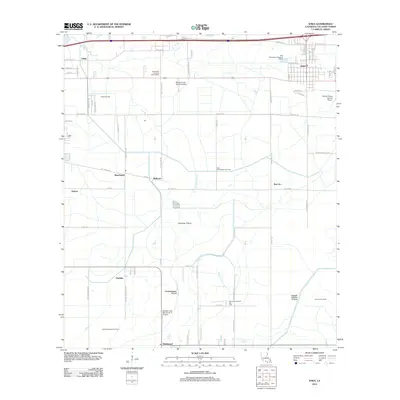
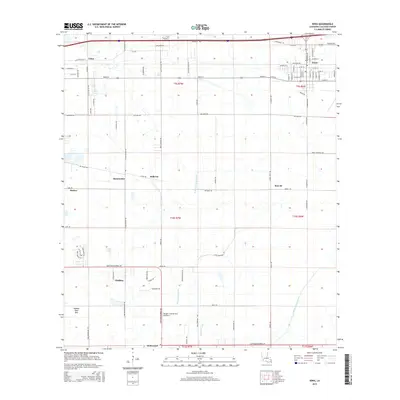
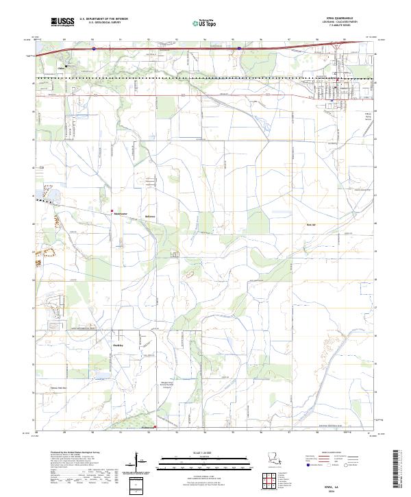
Iowa serves as a primary hub in this coastal prairie landscape of Calcasieu Parish, where the BNSF Railway and local road networks like McCown Rd and Gerstner Memorial Blvd define the movement of goods and people. The area's agricultural and aviation character is evident in specialized landmarks such as O'Brien Flying Service and the Morgan Crop Service Number 2 Airport. These sites, alongside a network of irrigation and drainage features like Government Ditch and the Indian Bayou Canal, suggest a landscape deeply integrated with large-scale farming and crop dusting operations.
Find a feature on this map
99 named features on this map. Tap any name to fly to it.
Don’t see what you’re looking for? This feature index may not catch every label — zoom into the map to look around manually.
Map Details
Editions of this 2024 Iowa Map
This is the sole edition of this map. No revisions or reprints were ever made.
Historical Maps of Iowa Through Time
7 maps found