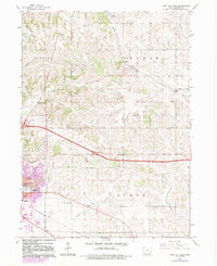
1965 Map of Iowa City East
USGS Topo · Published 1983About this map
Iowa City expands eastward into the rural townships of Newport, Graham, and Scott during this mid-century period. While the urban fringe reaches toward Memory Gardens Cem and Southeast Jr High Sch, the surrounding landscape remains defined by an intricate network of country schools and churches. Rural education hubs like Railroad Sch, Carthage Sch, and Prairie Dale Sch dot the terrain, reflecting a decentralized community structure before widespread consolidation.
Find a feature on this map
36 named features on this map. Tap any name to fly to it.
Don’t see what you’re looking for? This feature index may not catch every label — zoom into the map to look around manually.
Map Details
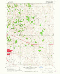
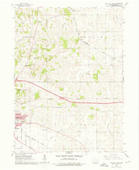
Editions of this 1965 Iowa City East Map
Other maps of this area

1887 · Cedar Rapids
USGS Topo · 1:62,500

1891 · Mechanicsville
USGS Topo · 1:62,500

1891 · Cedar Rapids
USGS Topo · 1:62,500

1891 · Iowa City
USGS Topo · 1:62,500

1894 · Mechanicsville
USGS Topo · 1:62,500

1894 · West Liberty
USGS Topo · 1:62,500

1901 · Stanwood
USGS Topo · 1:125,000

1903 · Fairfax
USGS Topo · 1:125,000

1938 · Iowa City
USGS Topo · 1:62,500

1958 · Davenport
USGS Topo · 1:250,000