
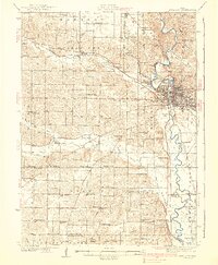
1938 Map of Iowa City
USGS Topo · Published 1938About this map
Iowa City stands as the central hub of this 1930s survey, defined by the winding course of the Iowa River and the expanding grounds of the University of Iowa. The landscape reflects a well-established agricultural and institutional network, featuring the State Sanatorium near Oakdale and the early Iowa City Landing Field south of the city center. The dense grid of the county seat contrasts with the surrounding rural townships like Sharon and Penn, which are dotted with a high density of rural schoolhouses such as School No 1 County Farm and Greenback Sch.
Find a feature on this map
82 named features on this map. Tap any name to fly to it.
Don’t see what you’re looking for? This feature index may not catch every label — zoom into the map to look around manually.
Map Details
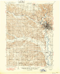
Editions of this 1938 Iowa City Map
3 editions found
Other maps of this area

1887 · Cedar Rapids
USGS Topo · 1:62,500

1888 · Amana
USGS Topo · 1:62,500

1889 · Amana
USGS Topo · 1:62,500

1891 · Oxford
USGS Topo · 1:62,500

1891 · Mechanicsville
USGS Topo · 1:62,500

1891 · Cedar Rapids
USGS Topo · 1:62,500

1891 · Iowa City
USGS Topo · 1:62,500

1894 · Mechanicsville
USGS Topo · 1:62,500

1894 · Oxford
USGS Topo · 1:62,500

1894 · West Liberty
USGS Topo · 1:62,500