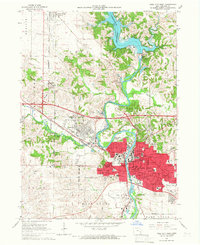
1965 Map of Iowa City West
USGS Topo · Published 1967About this map
Iowa City serves as the focal point of this 1960s survey, illustrating the significant expansion of the University of Iowa and its medical facilities. The sprawling footprint of the Univ of Iowa Med Center and the adjacent VA Hospital dominate the west bank of the Iowa River, while the downtown core maintains its dense urban grid around the Courthouse and Post Office. This era captures the transformative impact of the Coralville Reservoir and its Coralville Dam to the north, which permanently altered the local hydrology and created new recreational areas like the Picnic Area and Campground.
Find a feature on this map
61 named features on this map. Tap any name to fly to it.
Don’t see what you’re looking for? This feature index may not catch every label — zoom into the map to look around manually.
Map Details
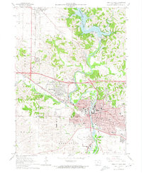
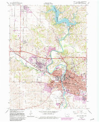
Editions of this 1965 Iowa City West Map
3 editions found
Other maps of this area

1887 · Cedar Rapids
USGS Topo · 1:62,500

1891 · Mechanicsville
USGS Topo · 1:62,500

1891 · Cedar Rapids
USGS Topo · 1:62,500

1891 · Iowa City
USGS Topo · 1:62,500

1894 · Mechanicsville
USGS Topo · 1:62,500

1894 · West Liberty
USGS Topo · 1:62,500

1901 · Stanwood
USGS Topo · 1:125,000

1903 · Fairfax
USGS Topo · 1:125,000

1938 · Iowa City
USGS Topo · 1:62,500

1958 · Davenport
USGS Topo · 1:250,000