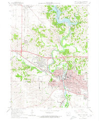
1965 Map of Iowa City West
USGS Topo · Published 1974About this map
Iowa City and its educational and medical institutions dominate the landscape of the Iowa River valley in the mid-1960s. The sprawling campus of the University of Iowa is shown in detail, including the Univ of Iowa Med Center, VA Hospital, and the historic Courthouse downtown. To the west, Coralville and University Heights show steady residential growth along the Chicago Rock Island and Pacific railroad line and U S 6.
Find a feature on this map
57 named features on this map. Tap any name to fly to it.
Don’t see what you’re looking for? This feature index may not catch every label — zoom into the map to look around manually.
Map Details
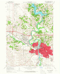
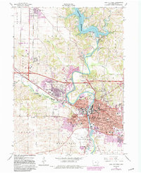
Editions of this 1965 Iowa City West Map
3 editions found
Other maps of this area

1887 · Cedar Rapids
USGS Topo · 1:62,500

1891 · Mechanicsville
USGS Topo · 1:62,500

1891 · Cedar Rapids
USGS Topo · 1:62,500

1891 · Iowa City
USGS Topo · 1:62,500

1894 · Mechanicsville
USGS Topo · 1:62,500

1894 · West Liberty
USGS Topo · 1:62,500

1901 · Stanwood
USGS Topo · 1:125,000

1903 · Fairfax
USGS Topo · 1:125,000

1938 · Iowa City
USGS Topo · 1:62,500

1958 · Davenport
USGS Topo · 1:250,000