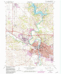
1965 Map of Iowa City West
USGS Topo · Published 1983About this map
The Iowa River corridor dominates this mid-century view of Johnson County, anchored by the expansive Coralville Reservoir and its associated Coralville Dam. The map captures the significant expansion of Iowa City and Coralville, particularly through the growth of the Univ of Iowa Med Center and the VA Hospital. Transportation patterns are defined by the Cedar Rapids and Iowa City railroad line and the emergence of Interstate highways through West Lucas. Local community landmarks, from the County Home to numerous schools like Mark Twain Sch and Regina High Sch, offer specific points of interest for genealogists. The presence of historic sites like Terrill Mill Pk and the Sturgis Ferry Park reflects the long-standing river-based economy that preceded the modern suburban and institutional development seen here.
Find a feature on this map
69 named features on this map. Tap any name to fly to it.
Don’t see what you’re looking for? This feature index may not catch every label — zoom into the map to look around manually.
Map Details
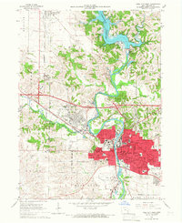
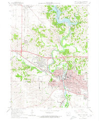
Editions of this 1965 Iowa City West Map
3 editions found
Other maps of this area

1887 · Cedar Rapids
USGS Topo · 1:62,500

1891 · Mechanicsville
USGS Topo · 1:62,500

1891 · Cedar Rapids
USGS Topo · 1:62,500

1891 · Iowa City
USGS Topo · 1:62,500

1894 · Mechanicsville
USGS Topo · 1:62,500

1894 · West Liberty
USGS Topo · 1:62,500

1901 · Stanwood
USGS Topo · 1:125,000

1903 · Fairfax
USGS Topo · 1:125,000

1938 · Iowa City
USGS Topo · 1:62,500

1958 · Davenport
USGS Topo · 1:250,000