
2016 Map of Irby
USGS Topo · Published 2016About this map
The small settlement of Irby sits along the intersection of local routes in this rural Haskell County landscape. Characterized by a sprawling network of county roads such as Roberts Cemetary Rd and Lodge Rd, the area remains largely agricultural, with natural drainages like Red Cr and N Paint Cr carving through the terrain. A primary point of interest for genealogists and local historians is the Roberts Cem located in the northwest, which serves as a notable landmark for family research in this section of Texas. The map illustrates a contemporary view of the region's infrastructure, where state-maintained routes like FM 266 connect the more isolated ranch and farm properties to the wider county network.
Find a feature on this map
18 named features on this map. Tap any name to fly to it.
Don’t see what you’re looking for? This feature index may not catch every label — zoom into the map to look around manually.
Map Details
Editions of this 2016 Irby Map
This is the sole edition of this map. No revisions or reprints were ever made.
Other maps of this area

1954 · Wichita Falls
USGS Topo · 1:250,000

1958 · Wichita Falls
USGS Topo · 1:250,000
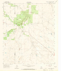
1962 · Antelope Creek SW
USGS Topo · 1:24,000
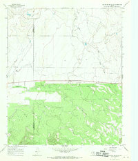
1965 · Reynolds Bend NW
USGS Topo · 1:24,000
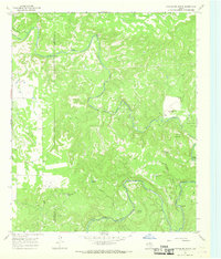
1966 · Hoover Mountain
USGS Topo · 1:24,000
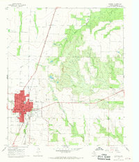
1966 · Haskell
USGS Topo · 1:24,000
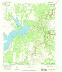
1966 · Lake Stamford East
USGS Topo · 1:24,000
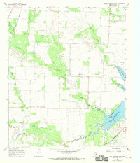
1966 · Lake Stamford West
USGS Topo · 1:24,000
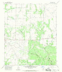
1966 · Irby
USGS Topo · 1:24,000
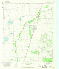
1967 · Weinert
USGS Topo · 1:24,000