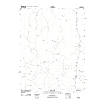
2010 Map of Iris
USGS Topo · Published 2010About this map
Iris serves as a central point in this part of Gunnison County, surrounded by a high-altitude landscape defined by historical extraction and ranching. The presence of the Iris Cemetery and the Denver City Mine near the town site suggests a history of local industry and settlement that once flourished in the Schisto Basin. The terrain is deeply incised by numerous gulches such as Merry-go-round Gulch and Grayback Gulch, leading toward the prominent Cochetopa Canyon in the east.
Find a feature on this map
48 named features on this map. Tap any name to fly to it.
Don’t see what you’re looking for? This feature index may not catch every label — zoom into the map to look around manually.
Map Details
Editions of this 2010 Iris Map
This is the sole edition of this map. No revisions or reprints were ever made.
Other maps of this area

1941 · Pitkin
USGS Topo · 1:62,500

1945 · Pitkin
USGS Topo · 1:62,500

1954 · Iris NW
USGS Topo · 1:24,000

1954 · Gunnison
USGS Topo · 1:24,000

1956 · Montrose
USGS Topo · 1:250,000

1959 · Montrose
USGS Topo · 1:250,000

1960 · Montrose
USGS Topo · 1:250,000

1962 · Iris
USGS Topo · 1:24,000

1962 · Houston Gulch
USGS Topo · 1:24,000

1962 · Razor Creek Dome
USGS Topo · 1:24,000