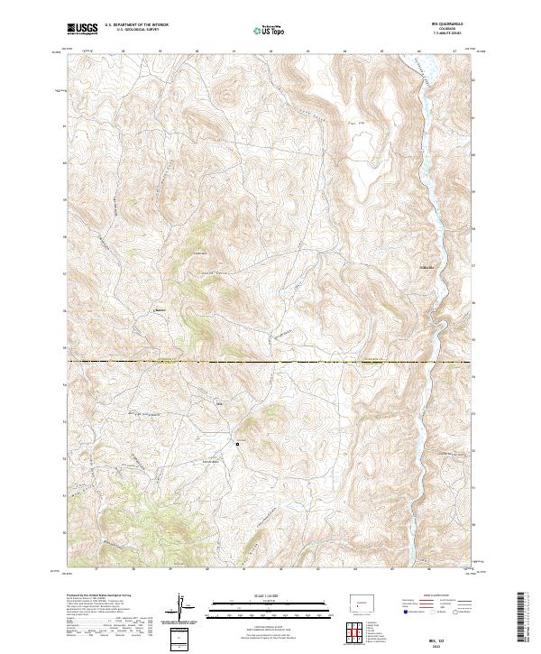
2022 Map of Iris
USGS Topo · Published 2022About this map
Iris and Chance sit amidst the complex network of gulches and ridges that define the boundary between Gunnison and Saguache counties. This high-country landscape is deeply incised by drainages such as Merry-go-round Gulch, Sage Hen Gulch, and Dirigo Gulch, which all feed toward the prominent Cochetopa Cr flowing through Cochetopa Canyon in the east.
Find a feature on this map
43 named features on this map. Tap any name to fly to it.
Don’t see what you’re looking for? This feature index may not catch every label — zoom into the map to look around manually.
Map Details
Editions of this 2022 Iris Map
This is the sole edition of this map. No revisions or reprints were ever made.
Other maps of this area

1941 · Pitkin
USGS Topo · 1:62,500

1945 · Pitkin
USGS Topo · 1:62,500

1954 · Iris NW
USGS Topo · 1:24,000

1954 · Gunnison
USGS Topo · 1:24,000

1956 · Montrose
USGS Topo · 1:250,000

1959 · Montrose
USGS Topo · 1:250,000

1960 · Montrose
USGS Topo · 1:250,000

1962 · Iris
USGS Topo · 1:24,000

1962 · Houston Gulch
USGS Topo · 1:24,000

1962 · Razor Creek Dome
USGS Topo · 1:24,000