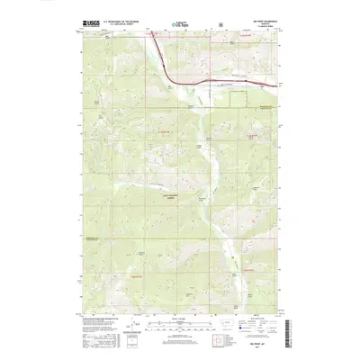
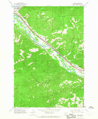
2017 Map of Iris Point
USGS Topo · Published 2017About this map
Iris sits at the confluence of the Clark Fork and Rock Creek in this 2017 survey of the borderlands between Missoula and Granite counties. The landscape is defined by the steep drainages of the Lolo National Forest, where a network of deeply incised gulches like Moe Gulch, Rickard Gulch, and Fiddler Gulch feed into the primary river systems. Transportation and access follow these natural corridors, with the US Hwy 10 and E Mullan Rd tracing the river bends, while historic routes like the Stage Station Rd and Valley of the Moon Rd push into the more interior mountain terrain. High points such as Solomon Mtn, Babcock Mtn, and the namesake Iris Point offer vertical perspective on a region where the Rock Creek Airport serves as a small aviation outpost. The presence of Colma Spring and several named creeks suggests a hydrology that has long supported local forestry and mountain transit.
Find a feature on this map
44 named features on this map. Tap any name to fly to it.
Don’t see what you’re looking for? This feature index may not catch every label — zoom into the map to look around manually.
Map Details
Editions of this 2017 Iris Point Map
This is the sole edition of this map. No revisions or reprints were ever made.
Other maps of this area
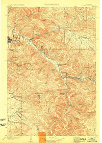
1903 · Bonner
USGS Topo · 1:125,000

1947 · Butte
USGS Topo · 1:250,000

1958 · Butte
USGS Topo · 1:250,000
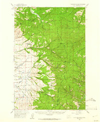
1959 · Cleveland Mountain
USGS Topo · 1:62,500
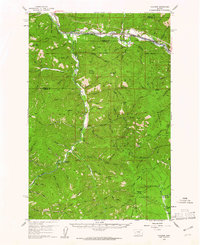
1959 · Ravenna
USGS Topo · 1:62,500
1960 · Butte
USGS Topo · 1:250,000
1962 · Butte
USGS Topo · 1:250,000
1965 · Clinton
USGS Topo · 1:24,000
1965 · Mineral Ridge
USGS Topo · 1:24,000
1965 · Bonner
USGS Topo · 1:24,000