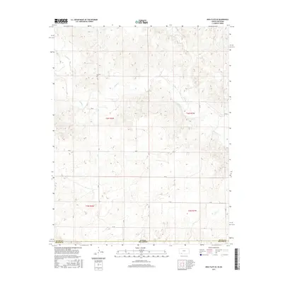
2016 Map of Irish Flats SE
USGS Topo · Published 2016About this map
Kansas and Oklahoma meet along this high plains borderland, where the terrain is defined by the winding drainages of Crooked Cr and Remuda Cr. The landscape is partitioned by a rigid grid of rural roads, including 18 Rd and Ee Rd, which navigate the subtle elevation changes of the Irish Flats. A singular point of local heritage, the Lutheran Cem sits near the northern edge of the survey, serving as a silent marker of the early community that settled this portion of the border between Meade County and Beaver County. The map illustrates a contemporary pattern of land use where section lines dictate the movement of travelers through a sparse, water-carved environment, providing a clear record of the intersection between political boundaries and natural topography.
Find a feature on this map
20 named features on this map. Tap any name to fly to it.
Don’t see what you’re looking for? This feature index may not catch every label — zoom into the map to look around manually.
Map Details
Editions of this 2016 Irish Flats SE Map
This is the sole edition of this map. No revisions or reprints were ever made.
Other maps of this area
1892 · Meade
USGS Topo · 1:125,000
1954 · Perryton
USGS Topo · 1:250,000

1955 · Dodge City
USGS Topo · 1:250,000
1958 · Perryton
USGS Topo · 1:250,000

1958 · Dodge City
USGS Topo · 1:250,000

1959 · Dodge City
USGS Topo · 1:250,000
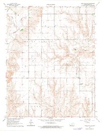
1962 · Irish Flats NE
USGS Topo · 1:24,000
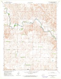
1962 · Irish Flats SE
USGS Topo · 1:24,000
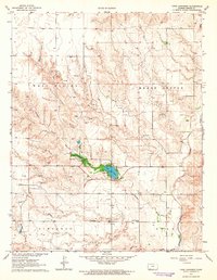
1963 · Lake Larrabee
USGS Topo · 1:24,000
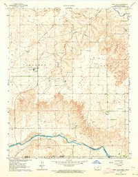
1963 · Irish Flats
USGS Topo · 1:24,000