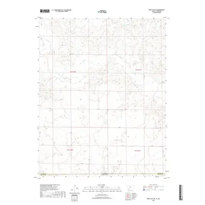
2018 Map of Irish Flats SE
USGS Topo · Published 2018About this map
Kansas Oklahoma state lines define the southern edge of this landscape, where the High Plains of Meade and Beaver counties meet. The terrain is shaped by the winding course of Crooked Cr and its tributary Remuda Cr, which carve through the plains. This area is characterized by a sparse, grid-like network of rural roads such as 18 RD and Ee RD, reflecting the large-scale agricultural and ranching patterns of the region. A notable point of local history is the Lutheran Cem, a quiet landmark situated north of the creek. The map provides a clear view of the Public Land Survey System divisions, including t34s r28w and t35s r27w, which have dictated the layout of the land since initial settlement.
Find a feature on this map
19 named features on this map. Tap any name to fly to it.
Don’t see what you’re looking for? This feature index may not catch every label — zoom into the map to look around manually.
Map Details
Editions of this 2018 Irish Flats SE Map
This is the sole edition of this map. No revisions or reprints were ever made.
Other maps of this area
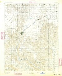
1892 · Meade
USGS Topo · 1:125,000
1954 · Perryton
USGS Topo · 1:250,000

1955 · Dodge City
USGS Topo · 1:250,000
1958 · Perryton
USGS Topo · 1:250,000

1958 · Dodge City
USGS Topo · 1:250,000

1959 · Dodge City
USGS Topo · 1:250,000
1962 · Irish Flats NE
USGS Topo · 1:24,000
1962 · Irish Flats SE
USGS Topo · 1:24,000
1963 · Lake Larrabee
USGS Topo · 1:24,000
1963 · Irish Flats
USGS Topo · 1:24,000