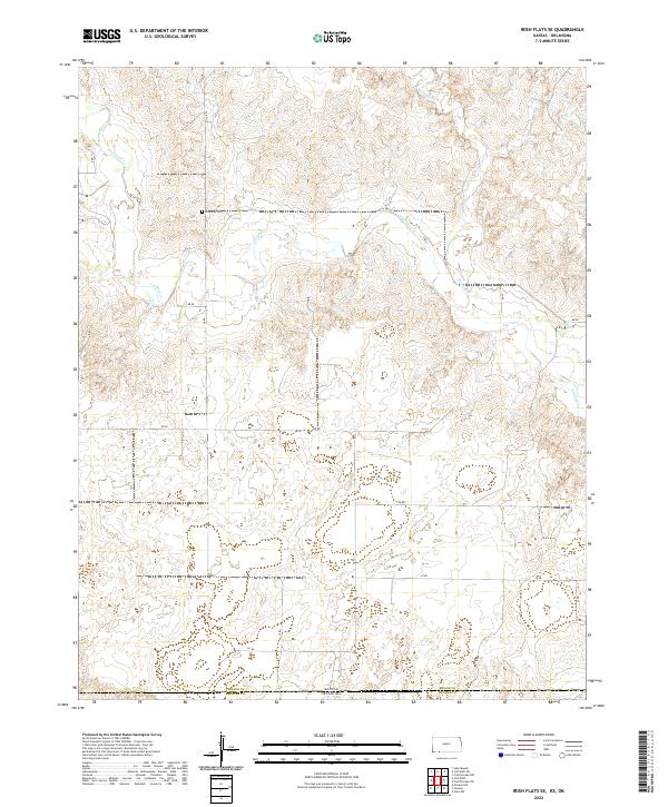
2022 Map of Irish Flats SE
USGS Topo · Published 2022About this map
Crooked Cr and Remuda Cr wind through this rural borderland where Meade County, Kansas, meets Beaver County, Oklahoma. The landscape is defined by a sparse network of section-line roads, such as EE Rd and FF Rd, which traverse the undulating terrain of the High Plains. A significant historical marker in this quiet agricultural region is the Lutheran Cem, a site of local genealogical interest situated north of the state line. The map captures the intersection of several townships, including t34s r28w and t35s r27w, illustrating the rigid grid of the Public Land Survey System as it adapts to the natural drainage patterns of the creeks flowing toward the Oklahoma panhandle.
Find a feature on this map
22 named features on this map. Tap any name to fly to it.
Don’t see what you’re looking for? This feature index may not catch every label — zoom into the map to look around manually.
Map Details
Editions of this 2022 Irish Flats SE Map
This is the sole edition of this map. No revisions or reprints were ever made.
Other maps of this area

1892 · Meade
USGS Topo · 1:125,000

1954 · Perryton
USGS Topo · 1:250,000

1955 · Dodge City
USGS Topo · 1:250,000

1958 · Perryton
USGS Topo · 1:250,000

1958 · Dodge City
USGS Topo · 1:250,000

1959 · Dodge City
USGS Topo · 1:250,000

1962 · Irish Flats NE
USGS Topo · 1:24,000

1962 · Irish Flats SE
USGS Topo · 1:24,000

1963 · Lake Larrabee
USGS Topo · 1:24,000

1963 · Irish Flats
USGS Topo · 1:24,000