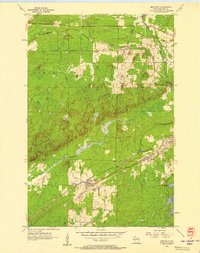
1956 Map of Iron Belt
USGS Topo · Published 1957About this map
The northern Wisconsin mining and timber landscape comes into sharp focus during the mid-1950s, centered on the historic iron mining community of Iron Belt. The map illustrates a dense network of transportation and industry, with the Chicago and North Western and Minneapolis St Paul and Sault Ste Marie railroads threading through the towns of Montreal, Pence, and Kimball. These rail lines follow the contours of the terrain, connecting the localized mining operations to broader regional markets.
Find a feature on this map
20 named features on this map. Tap any name to fly to it.
Don’t see what you’re looking for? This feature index may not catch every label — zoom into the map to look around manually.
Map Details
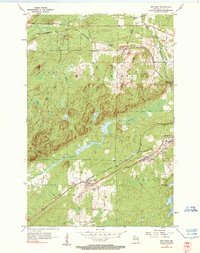
Editions of this 1956 Iron Belt Map
2 editions found
Other maps of this area

1940 · Upson
USGS Topo · 1:48,000

1943 · Little Girls Point
USGS Topo · 1:24,000

1943 · Upson
USGS Topo · 1:48,000

1943 · Ironwood
USGS Topo · 1:48,000

1943 · Little Girl Point
USGS Topo · 1:48,000

1953 · Ashland
USGS Topo · 1:250,000

1955 · Ironwood
USGS Topo · 1:24,000

1955 · Ironwood
USGS Topo · 1:62,500
1956 · Saxon
USGS Topo · 1:24,000

1956 · North Ironwood
USGS Topo · 1:62,500