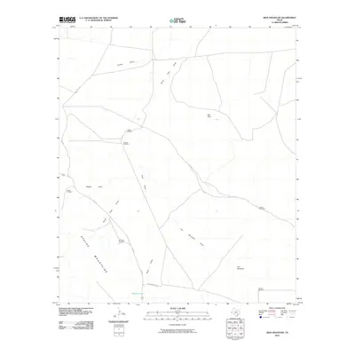
2010 Map of Iron Mountain
USGS Topo · Published 2010About this map
The Apache Mountains dominate the southwestern corner of this landscape, marking a stark transition into the high desert of West Texas. This 2010 survey reveals a land defined by water management and transit, where named windmills like North Windmill, Wooden Windmill, and Mountain Windmill serve as critical landmarks for local ranching operations. The topography is carved by a network of seasonal drainages, including Clayton Draw, Hurds Pass Draw, and Iron Mountain Draw, which channel runoff from the slopes of Iron Mountain and Red Point. Infrastructure is sparse but vital, with FM 2424 and Kent Rd providing the primary arteries through the scrubland. Notable livestock watering points, such as Highway Tank and Sulphur Windmill, underscore the persistent challenges of water access in this arid environment.
Find a feature on this map
19 named features on this map. Tap any name to fly to it.
Don’t see what you’re looking for? This feature index may not catch every label — zoom into the map to look around manually.
Map Details
Editions of this 2010 Iron Mountain Map
This is the sole edition of this map. No revisions or reprints were ever made.
Other maps of this area

1928 · Kent
USGS Topo · 1:125,000

1954 · Van Horn
USGS Topo · 1:250,000

1958 · Van Horn
USGS Topo · 1:250,000
1970 · Panther Canyon
USGS Topo · 1:24,000
1970 · San Martine
USGS Topo · 1:24,000
1970 · Gomez Peak
USGS Topo · 1:24,000
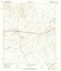
1970 · Kent
USGS Topo · 1:24,000
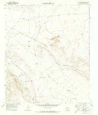
1970 · Iron Mountain
USGS Topo · 1:24,000
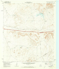
1970 · Fencepost Draw
USGS Topo · 1:24,000
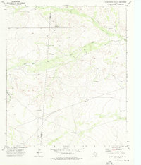
1973 · Burnt Spring Hills SE
USGS Topo · 1:24,000