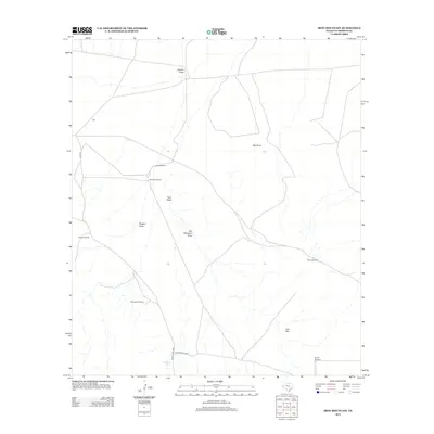
2012 Map of Iron Mountain
USGS Topo · Published 2012About this map
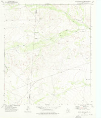
Iron Mtn and the prominent Red Point anchor this arid Culberson County landscape, where the scarcity of water has historically defined the patterns of human activity. The map reveals a network of essential water sources scattered across the high desert, including the Highway Tank and several named wells such as the Wooden Windmill, North Windmill, and Pistola Windmill. These features indicate the vital importance of ranching infrastructure in West Texas. Transport is primarily served by Ranch Road 2424 and Iron Mountain Rd, which navigate the drainage basins of Clayton Draw, Kent Draw, and Dagger Draw. For genealogists or local historians, the inclusion of a lone Cem near the center of the survey offers a specific point of interest for tracing early burials in this sparsely populated region.
Find a feature on this map
17 named features on this map. Tap any name to fly to it.
Don’t see what you’re looking for? This feature index may not catch every label — zoom into the map to look around manually.
Map Details
Editions of this 2012 Iron Mountain Map
This is the sole edition of this map. No revisions or reprints were ever made.
Other maps of this area
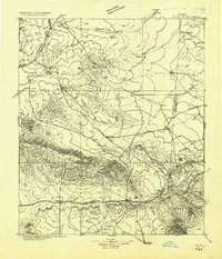
1928 · Kent
USGS Topo · 1:125,000

1954 · Van Horn
USGS Topo · 1:250,000

1958 · Van Horn
USGS Topo · 1:250,000
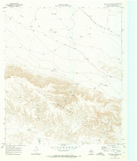
1970 · Panther Canyon
USGS Topo · 1:24,000
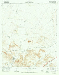
1970 · San Martine
USGS Topo · 1:24,000
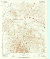
1970 · Gomez Peak
USGS Topo · 1:24,000
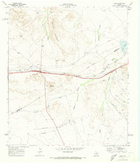
1970 · Kent
USGS Topo · 1:24,000
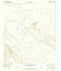
1970 · Iron Mountain
USGS Topo · 1:24,000
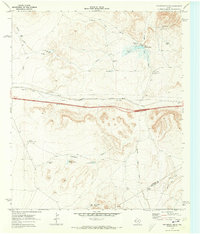
1970 · Fencepost Draw
USGS Topo · 1:24,000
1973 · Burnt Spring Hills SE
USGS Topo · 1:24,000