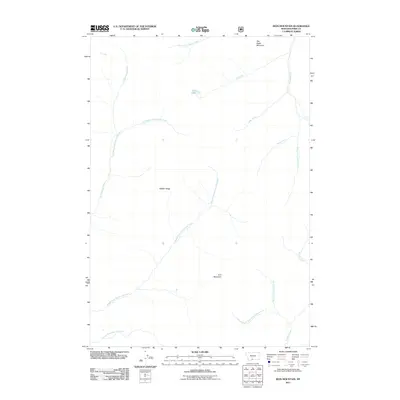
2011 Map of Iron Mountain
USGS Topo · Published 2011About this map
Iron Mountain and War Eagle Mountain dominate this high-elevation landscape in Park County, Montana, as recorded by the Forest Service and Geological Survey in the early 2010s. The area is defined by a dense network of watercourses that drain the surrounding peaks, including the prominent Boulder River and the sprawling branches of Hellroaring Creek, such as the East Branch and Middle Fork. Between these drainages lies Middle Ridge, a significant landform that separates the western watersheds from the eastern valleys. Elk Lake provides a notable point of interest north of Copper Creek, highlighting the diverse alpine hydrography of the region. This survey captures a terrain primarily shaped by natural features and drainage patterns, with very few human-named structures or settlements, reflecting its character as part of a protected forest environment.
Find a feature on this map
17 named features on this map. Tap any name to fly to it.
Don’t see what you’re looking for? This feature index may not catch every label — zoom into the map to look around manually.
Map Details
Editions of this 2011 Iron Mountain Map
This is the sole edition of this map. No revisions or reprints were ever made.
Other maps of this area

1891 · Livingston
USGS Topo · 1:250,000

1893 · Livingston
USGS Topo · 1:250,000

1940 · Mt. Cowen
USGS Topo · 1:62,500

1940 · Mt Wallace
USGS Topo · 1:62,500

1941 · Mt Douglas
USGS Topo · 1:62,500

1942 · Cutoff Mtn
USGS Topo · 1:62,500

1943 · Mt Wallace
USGS Topo · 1:62,500

1943 · Mt Douglas
USGS Topo · 1:62,500

1943 · Mt Cowen
USGS Topo · 1:62,500

1944 · Cutoff Mtn
USGS Topo · 1:62,500