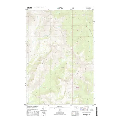
2017 Map of Iron Mountain
USGS Topo · Published 2017About this map
Gallatin National Forest encompasses this high-elevation landscape within the Absaroka Range of south-central Montana. The terrain is defined by significant peaks and hydrological divides, most notably Iron Mtn and the prominent Middle Ridge that separates various drainages. Water systems radiate from these heights, including the headwaters of Hellroaring Cr and its various branches, as well as the north-flowing Boulder River. In the northern section, Elk Lake sits at the base of steep slopes near the start of Elk Cr. The map shows limited human infrastructure, primarily the Natl Forest Develop Road 6639 RD, which provides access to the higher basins. For those tracing the geography of the southern Montana wilderness, the map details many secluded alpine features such as Hummingbird Basin and the winding course of Buffalo Cr.
Find a feature on this map
24 named features on this map. Tap any name to fly to it.
Don’t see what you’re looking for? This feature index may not catch every label — zoom into the map to look around manually.
Map Details
Editions of this 2017 Iron Mountain Map
This is the sole edition of this map. No revisions or reprints were ever made.
Other maps of this area
1891 · Livingston
USGS Topo · 1:250,000
1893 · Livingston
USGS Topo · 1:250,000
1940 · Mt. Cowen
USGS Topo · 1:62,500
1940 · Mt Wallace
USGS Topo · 1:62,500
1941 · Mt Douglas
USGS Topo · 1:62,500
1942 · Cutoff Mtn
USGS Topo · 1:62,500
1943 · Mt Wallace
USGS Topo · 1:62,500
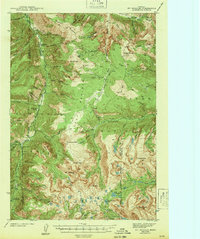
1943 · Mt Douglas
USGS Topo · 1:62,500
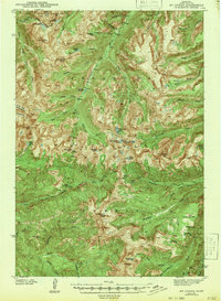
1943 · Mt Cowen
USGS Topo · 1:62,500
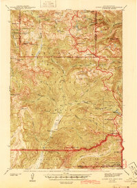
1944 · Cutoff Mtn
USGS Topo · 1:62,500