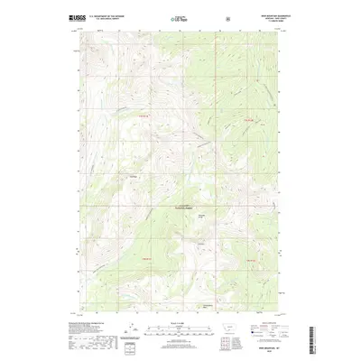
2020 Map of Iron Mountain
USGS Topo · Published 2020About this map
Iron Mtn and the high peaks of the Absaroka Range dominate this 2020 landscape within the Gallatin National Forest. The drainage patterns here are particularly intricate, with the headwaters of the Boulder River and Buffalo Fork carving deep valleys across the terrain. A complex network of watercourses defines the geography, including the convergence of Hellroaring Cr, Sheep Creek, and Copper Creek.
Find a feature on this map
29 named features on this map. Tap any name to fly to it.
Don’t see what you’re looking for? This feature index may not catch every label — zoom into the map to look around manually.
Map Details
Editions of this 2020 Iron Mountain Map
This is the sole edition of this map. No revisions or reprints were ever made.
Other maps of this area

1891 · Livingston
USGS Topo · 1:250,000

1893 · Livingston
USGS Topo · 1:250,000

1940 · Mt. Cowen
USGS Topo · 1:62,500

1940 · Mt Wallace
USGS Topo · 1:62,500

1941 · Mt Douglas
USGS Topo · 1:62,500

1942 · Cutoff Mtn
USGS Topo · 1:62,500

1943 · Mt Wallace
USGS Topo · 1:62,500

1943 · Mt Douglas
USGS Topo · 1:62,500

1943 · Mt Cowen
USGS Topo · 1:62,500

1944 · Cutoff Mtn
USGS Topo · 1:62,500