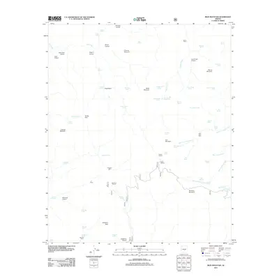
2011 Map of Iron Mountain
USGS Topo · Published 2011About this map
Iron Mountain and the surrounding high country of the Superstition Mountains dominate this topographical study. The area is defined by a remote network of canyons and high basins, such as Angel Basin and Rough Canyon, which have long served as isolated outposts for ranching and backcountry travel. Historical habitation is marked by the presence of the Reavis Ranch and J F Ranch, along with shelters like the Silver Spur Cabin and Woodbury Cabin. These sites, connected by trails leading from the Rogers Trailhead and Woodbury Trailhead, illustrate the rugged late-20th-century land use patterns in this part of Arizona.
Find a feature on this map
69 named features on this map. Tap any name to fly to it.
Don’t see what you’re looking for? This feature index may not catch every label — zoom into the map to look around manually.
Map Details
Editions of this 2011 Iron Mountain Map
This is the sole edition of this map. No revisions or reprints were ever made.
Other maps of this area
1900 · Florence
USGS Topo · 1:125,000
1902 · Florence
USGS Topo · 1:125,000
1907 · Roosevelt
USGS Topo · 1:125,000
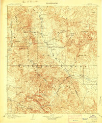
1909 · Four Peaks
USGS Topo · 1:125,000
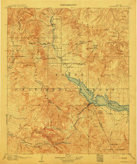
1912 · Roosevelt
USGS Topo · 1:125,000
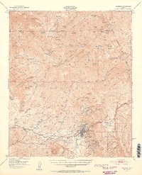
1948 · Superior
USGS Topo · 1:62,500
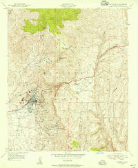
1948 · Superior
USGS Topo · 1:24,000
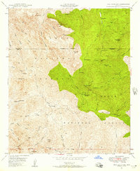
1948 · Iron Mountain
USGS Topo · 1:24,000
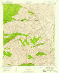
1948 · Haunted Canyon
USGS Topo · 1:24,000
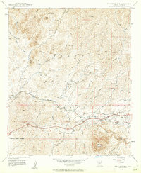
1948 · Picketpost Mtn
USGS Topo · 1:24,000