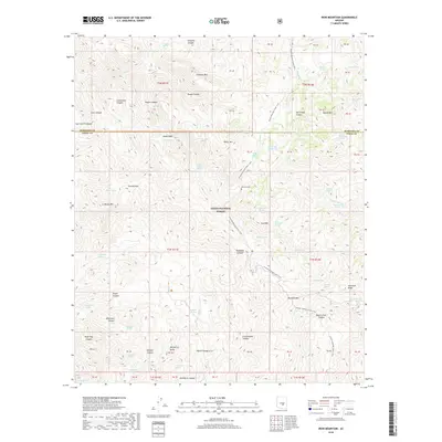
2018 Map of Iron Mountain
USGS Topo · Published 2018About this map
The Tonto National Forest defines this high-elevation landscape where the Arizona National Scenic Trail winds through complex canyon systems and volcanic peaks. Notable for local history, the map identifies the Reevis Grave located near Reavis Cr, a site tied to the area's pioneer past. The terrain is characterized by a high concentration of springs, including Bear Spring Number One, Honeycutt Spring, and Red Wood Spring, which provided essential water sources in this arid environment long before modern infrastructure. Prominent summits like Iron Mtn, Montana Mtn, and La Barge Mtn create a natural barrier between the drainages of Rogers Canyon and Hewitt Canyon. The map records a wilderness largely defined by its geological features, from the sharp Sawtooth Ridge to the broad Angel Basin, reflecting a landscape that has remained largely undeveloped into the 21st century.
Find a feature on this map
73 named features on this map. Tap any name to fly to it.
Don’t see what you’re looking for? This feature index may not catch every label — zoom into the map to look around manually.
Map Details
Editions of this 2018 Iron Mountain Map
This is the sole edition of this map. No revisions or reprints were ever made.
Other maps of this area
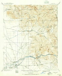
1900 · Florence
USGS Topo · 1:125,000
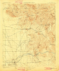
1902 · Florence
USGS Topo · 1:125,000
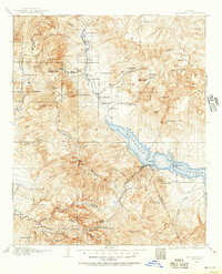
1907 · Roosevelt
USGS Topo · 1:125,000
1909 · Four Peaks
USGS Topo · 1:125,000
1912 · Roosevelt
USGS Topo · 1:125,000
1948 · Superior
USGS Topo · 1:62,500
1948 · Superior
USGS Topo · 1:24,000
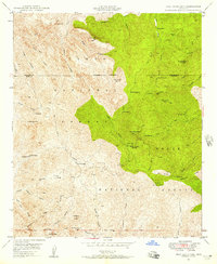
1948 · Iron Mountain
USGS Topo · 1:24,000
1948 · Haunted Canyon
USGS Topo · 1:24,000
1948 · Picketpost Mtn
USGS Topo · 1:24,000