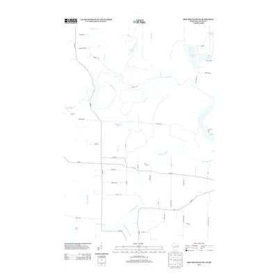
2013 Map of Iron Mountain SW
USGS Topo · Published 2013About this map
Pine River and Little Popple River carve through this Northwoods landscape on the border of Wisconsin and Michigan in the early twenty-first century. The terrain is defined by glacial features, including kettle lakes such as Ellwood Lake, Sand Lake, and Cowboy Lake. A distinct flatland known as The Plains occupies the central portion of the map, situated north of the meandering river systems.
Find a feature on this map
48 named features on this map. Tap any name to fly to it.
Don’t see what you’re looking for? This feature index may not catch every label — zoom into the map to look around manually.
Map Details
Editions of this 2013 Iron Mountain SW Map
This is the sole edition of this map. No revisions or reprints were ever made.
Other maps of this area

1939 · Dunbar
USGS Topo · 1:48,000

1939 · Goodman
USGS Topo · 1:48,000

1939 · Iron Mountain
USGS Topo · 1:48,000

1941 · Florence
USGS Topo · 1:48,000

1941 · Dunbar
USGS Topo · 1:48,000

1941 · Iron Mountain
USGS Topo · 1:48,000

1946 · Goodman
USGS Topo · 1:48,000

1947 · Dunbar
USGS Topo · 1:48,000

1947 · Iron Mountain
USGS Topo · 1:48,000

1947 · Stager
USGS Topo · 1:24,000