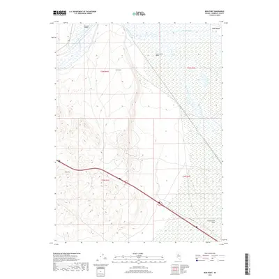
2018 Map of Iron Point
USGS Topo · Published 2018About this map
The Humboldt River corridor dominates the northern landscape of this region, winding through a series of complex wetlands and braided water systems including Herrin Slough. This 2018 survey captures the intersection of critical high-desert geography and modern transportation infrastructure. To the west, the steep rise of Edna Mtn and the narrow passage of Emigrant Canyon overlook the sprawling flatlands of the Pumpernickel Valley. The presence of Red House in the northeastern corner and the landmark peak of Iron Point provide essential reference points for understanding the historical movement through this arid basin. Modern access is marked by Froutdag Rd, which cuts across the valley floor, bridging the gap between the rugged mountainous terrain and the riparian lowlands of the river basin.
Find a feature on this map
12 named features on this map. Tap any name to fly to it.
Don’t see what you’re looking for? This feature index may not catch every label — zoom into the map to look around manually.
Map Details
Editions of this 2018 Iron Point Map
This is the sole edition of this map. No revisions or reprints were ever made.
Other maps of this area
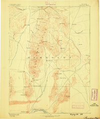
1882 · Paradise
USGS Topo · 1:250,000
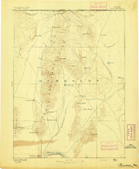
1893 · Paradise
USGS Topo · 1:250,000
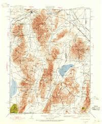
1932 · Sonoma Range
USGS Topo · 1:250,000
1939 · Sonoma Range
USGS Topo · 1:250,000
1945 · Osgood Mountains
USGS Topo · 1:62,500
1947 · Osgood Mountains
USGS Topo · 1:62,500

1955 · McDermitt
USGS Topo · 1:250,000

1955 · Winnemucca
USGS Topo · 1:250,000

1958 · Winnemucca
USGS Topo · 1:250,000

1959 · McDermitt
USGS Topo · 1:250,000