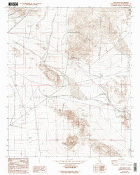
1982 Map of Iron Ridge
USGS Topo · Published 1993About this map
The Rodman Mountains define the northern reaches of this high desert terrain, where the landscape is marked by the distinct industrial and military activities of the early 1980s. Resource extraction is a central theme, evidenced by the Bessemer Mine and several Prospects, along with an Open Pit Mine and associated Mine Dump. These features suggest a period of intense geological investigation and mineral pursuit in the Upper Johnson Valley.
Find a feature on this map
23 named features on this map. Tap any name to fly to it.
Don’t see what you’re looking for? This feature index may not catch every label — zoom into the map to look around manually.
Map Details
Editions of this 1982 Iron Ridge Map
2 editions found
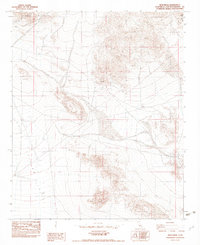
Other maps of this area

1901 · Southern California Sheet No. 1
USGS Topo · 1:250,000

1902 · San Gorgonio
USGS Topo · 1:125,000

1904 · Southern California Sheet No. 1
USGS Topo · 1:250,000

1953 · San Bernardino
USGS Topo · 1:250,000

1954 · Galway Lake
USGS Topo · 1:24,000

1954 · Emerson Lake
USGS Topo · 1:24,000

1955 · Silver Bell Mine
USGS Topo · 1:24,000

1955 · Sunshine Peak
USGS Topo · 1:24,000

1955 · Old Woman Springs
USGS Topo · 1:62,500

1955 · Lavic
USGS Topo · 1:62,500