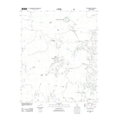
2012 Map of Iron Springs
USGS Topo · Published 2012About this map
The mountain community of Iron Springs serves as a focal point for this survey of the Prescott National Forest area, where high-altitude geography meets mid-century recreational development. The map details a landscape of seasonal and year-round enclaves, from the Granite Basin Summer Homes near Granite Basin Lake to the residential clusters of Highland Pines and Highland Park. This era of the region’s history is marked by its concentration of youth and organizational retreats, including the Willow Spring Girl Scout Camp, Saint James Camp, and the El Burrito Childrens Camp.
Find a feature on this map
93 named features on this map. Tap any name to fly to it.
Don’t see what you’re looking for? This feature index may not catch every label — zoom into the map to look around manually.
Map Details
Editions of this 2012 Iron Springs Map
This is the sole edition of this map. No revisions or reprints were ever made.
Other maps of this area

1887 · Prescott
USGS Topo · 1:250,000

1892 · Prescott
USGS Topo · 1:250,000

1903 · Bradshaw Mountains
USGS Topo · 1:125,000

1903 · Congress
USGS Topo · 1:125,000

1904 · Congress
USGS Topo · 1:125,000

1905 · Jerome
USGS Topo · 1:125,000

1947 · Iron Springs
USGS Topo · 1:62,500

1947 · Mt. Union
USGS Topo · 1:62,500

1947 · Kirkland
USGS Topo · 1:62,500

1947 · Prescott
USGS Topo · 1:62,500