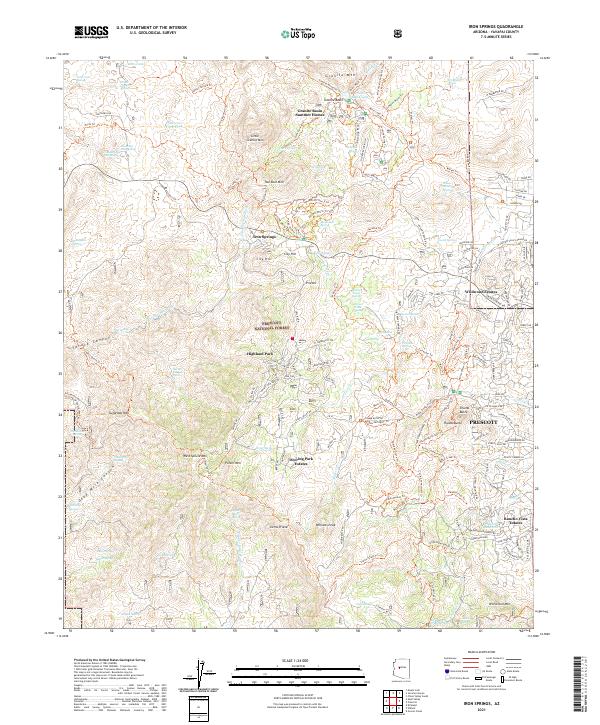
2021 Map of Iron Springs
USGS Topo · Published 2021About this map
Sierra Prieta and the high peaks of the Prescott National Forest dominate this Arizona landscape, where residential development meets the wilderness. The map documents modern settlements like Deering Park Estates, Wildwood Estates, and Rancho Vista Estates as they border rugged natural features. Historically significant landmarks such as Iron Springs and the Granite Basin Summer Homes indicate the area's long-standing appeal for seasonal recreation and retreat. The terrain is marked by numerous water sources, including Contreras Spring and Buckman Flat Spring, which were vital for early ranching and transit through the high desert. Notable topographical features like Thumb Butte, Granite Mtn, and Williams Peak are clearly defined, alongside a dense network of trails including the Potts Creek Trl and Sierra Prieta Trl, serving both modern recreation and tracing older routes through Spruce Canyon and Dead Mule Canyon.
Find a feature on this map
175 named features on this map. Tap any name to fly to it.
Don’t see what you’re looking for? This feature index may not catch every label — zoom into the map to look around manually.
Map Details
Editions of this 2021 Iron Springs Map
This is the sole edition of this map. No revisions or reprints were ever made.
Other maps of this area

1887 · Prescott
USGS Topo · 1:250,000

1892 · Prescott
USGS Topo · 1:250,000

1903 · Bradshaw Mountains
USGS Topo · 1:125,000

1903 · Congress
USGS Topo · 1:125,000

1904 · Congress
USGS Topo · 1:125,000

1905 · Jerome
USGS Topo · 1:125,000

1947 · Iron Springs
USGS Topo · 1:62,500

1947 · Mt. Union
USGS Topo · 1:62,500

1947 · Kirkland
USGS Topo · 1:62,500

1947 · Prescott
USGS Topo · 1:62,500