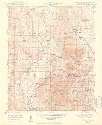
1949 Map of Iron Springs
USGS Topo · Published 1949About this map
Prescott National Forest dominates this 1940s landscape, where the rugged topography of the Weaver and Sierra Prieta mountains meets a network of high-desert springs and washes. This period of Western history is captured through its ranching and mining infrastructure, including the Boston Arizona Mine and the Stringfield Ranch. The drainage patterns of Mint Wash and Jerome Canyon define the area, while the Santa Fe and Topeka and Atchison railroad provides a vital transportation corridor through Skull Valley.
Find a feature on this map
97 named features on this map. Tap any name to fly to it.
Don’t see what you’re looking for? This feature index may not catch every label — zoom into the map to look around manually.
Map Details
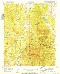
Editions of this 1949 Iron Springs Map
2 editions found
Other maps of this area

1887 · Prescott
USGS Topo · 1:250,000

1892 · Prescott
USGS Topo · 1:250,000

1903 · Bradshaw Mountains
USGS Topo · 1:125,000

1903 · Congress
USGS Topo · 1:125,000

1904 · Congress
USGS Topo · 1:125,000

1905 · Jerome
USGS Topo · 1:125,000

1947 · Simmons
USGS Topo · 1:62,500

1947 · Iron Springs
USGS Topo · 1:62,500

1947 · Mt. Union
USGS Topo · 1:62,500

1947 · Paulden
USGS Topo · 1:62,500