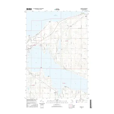
2017 Map of Ironton
USGS Topo · Published 2017About this map
The South Arm of Lake Charlevoix dominates this northern Michigan landscape, where the settlement of Ironton marks the narrow crossing point between the lake's main body and its southern branch. Along the coast of Lake Michigan, prominent landmarks like Big Rock Point and North Point define a shoreline that has long served as a maritime gateway. Further inland, the map captures the transition from the lakeside community of Charlevoix to the rural hamlets of Burgess and Bay Shore near the Emmet County line. The local road network, featuring names like Old 31 Rd and Meanderline Rd, reflects a history of shoreline development and timber-era transit. This 2017 survey details the complex hydrography of the region, including smaller bodies like Susan Lake, Mud Lake, and the marshy reaches of Susan Cr, which weave through the townships of Charlevoix County.
Find a feature on this map
140 named features on this map. Tap any name to fly to it.
Don’t see what you’re looking for? This feature index may not catch every label — zoom into the map to look around manually.
Map Details
Editions of this 2017 Ironton Map
This is the sole edition of this map. No revisions or reprints were ever made.
Other maps of this area
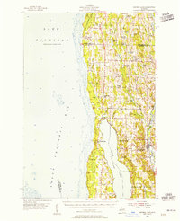
1954 · Central Lake
USGS Topo · 1:62,500
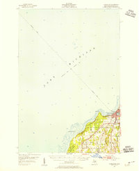
1954 · Charlevoix
USGS Topo · 1:62,500
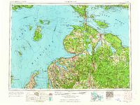
1955 · Cheboygan
USGS Topo · 1:250,000
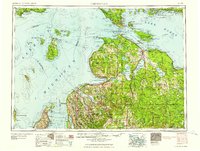
1958 · Cheboygan
USGS Topo · 1:250,000
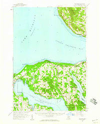
1958 · Bayshore
USGS Topo · 1:62,500
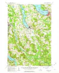
1961 · Boyne City
USGS Topo · 1:62,500
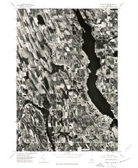
1975 · Boyne City NW
USGS Topo · 1:24,000
1975 · Boyne City NE
USGS Topo · 1:24,000
1983 · Ellsworth
USGS Topo · 1:25,000
1983 · Forest Beach
USGS Topo · 1:25,000