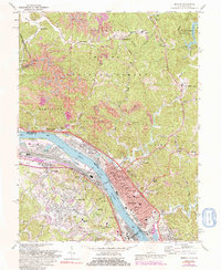
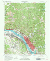
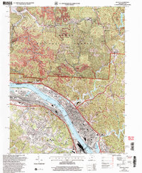
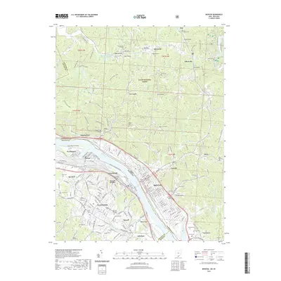
1972 Map of Ironton
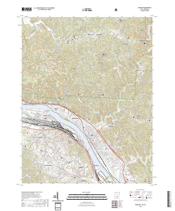
USGS Topo · Published 1992About this map
Ohio River industrial corridors and the rugged hills of the Wayne National Forest define this 1970s landscape at the tri-state border. On the Ohio shore, the city of Ironton serves as a dense hub of civic and religious life, featuring landmarks like Woodland Cemetery, St Lawrence Ch, and several neighborhood schools including Whitwell and Kingsbury. The riverfront is heavily influenced by transportation history, showing the paths of the Chesapeake and Ohio RR and Norfolk and Western RR alongside the Toll Bridge. Across the water in Kentucky, residential expansion is evident in Flatwoods and Raceland, while institutions like Our Lady of Bellefonte Hospital stand near the Ashland-Boyd County Airport. North of the urban centers, the terrain shifts to the resource-rich hills of Elizabeth and Hamilton, where numerous strip mines and Mines dot the hollows near Pine Grove and Royersville. The map also captures the recreational transition of the era at Lake Vesuvius and the Vesuvius Recreation Area.
Find a feature on this map
95 named features on this map. Tap any name to fly to it.
Don’t see what you’re looking for? This feature index may not catch every label — zoom into the map to look around manually.
Map Details
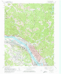
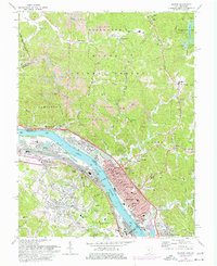
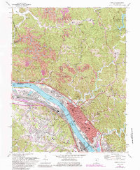
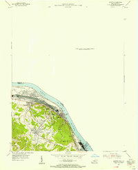
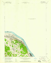
Editions of this 1972 Ironton Map
4 editions found
Historical Maps of Ironton Through Time
13 maps found

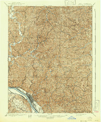
1898 Ironton
Lawrence County, OH
1900 Ironton
Lawrence County, OH
1953 Ironton
Lawrence County, OH
1958 Ironton
Lawrence County, OH
1961 Ironton
Lawrence County, OH
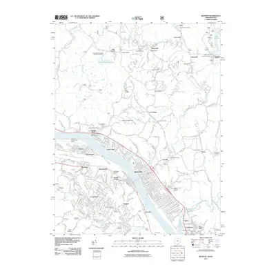
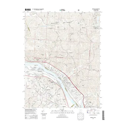
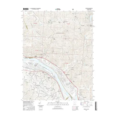
1972 Ironton
Lawrence County, OH

1981 Ironton
Lawrence County, OH
2002 Ironton
Lawrence County, OH
2011 Ironton
Lawrence County, OH
2013 Ironton
Lawrence County, OH
2016 Ironton
Lawrence County, OH
2019 Ironton
Lawrence County, OH
2023 Ironton
Lawrence County, OH