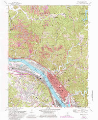
1972 Map of Ironton
USGS Topo · Published 1985About this map
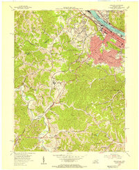
The Ohio River corridor serves as the industrial and social spine of this 1972 survey, anchoring the city of Ironton against a landscape of steep hollows and ridges. Along the river's banks, the infrastructure of the Chesapeake and Ohio Railway and the Norfolk and Western Railway supports a dense network of neighborhoods including Coal Grove, Raceland, and Russell. The presence of numerous institutions like St Marys Ch, the Quinn Chapel, and Woodland Cemetery reflects the deep-rooted community history of Lawrence County, Ohio, and Boyd County, Kentucky.
Find a feature on this map
77 named features on this map. Tap any name to fly to it.
Don’t see what you’re looking for? This feature index may not catch every label — zoom into the map to look around manually.
Map Details
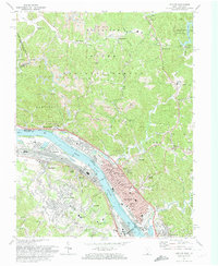
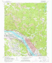
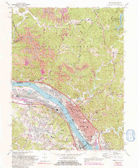
Editions of this 1972 Ironton Map
4 editions found
Other maps of this area

1898 · Ironton
USGS Topo · 1:62,500

1900 · Ironton
USGS Topo · 1:62,500

1901 · Ceredo
USGS Topo · 1:62,500

1903 · Kenova
USGS Topo · 1:125,000

1904 · Kenova
USGS Topo · 1:125,000

1913 · Ceredo
USGS Topo · 1:62,500

1926 · Greenup
USGS Topo · 1:48,000

1930 · Greenup
USGS Topo · 1:62,500
1953 · Ashland
USGS Topo · 1:24,000

1953 · Greenup
USGS Topo · 1:24,000