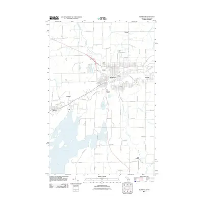
2011 Map of Ironwood
USGS Topo · Published 2011About this map
The Montreal River defines the landscape of this border region, carving through the iron-rich terrain that gave rise to the neighboring communities of Hurley, Wisconsin, and Ironwood, Michigan. The map illustrates a developed corridor where industrial heritage meets modern recreation, anchored by the Mount Zion Ski Hill and the extensive Gile Flowage to the southwest. Distinct residential pockets like Newport Location, Norrie, and Jessieville reflect the historic settlement patterns of the Gogebic Range. Local history and genealogy are preserved at sites such as Riverside Cemetery and Saint Marys Cemetery, while the Gogebic County Fairgrounds serves as a central community landmark. Along the river, natural features like Peterson Falls and Interstate Falls remain significant points of interest amidst a network of rural routes and established city streets.
Find a feature on this map
76 named features on this map. Tap any name to fly to it.
Don’t see what you’re looking for? This feature index may not catch every label — zoom into the map to look around manually.
Map Details
Editions of this 2011 Ironwood Map
This is the sole edition of this map. No revisions or reprints were ever made.
Other maps of this area

1940 · Upson
USGS Topo · 1:48,000

1943 · Little Girls Point
USGS Topo · 1:24,000

1943 · Upson
USGS Topo · 1:48,000

1943 · Ironwood
USGS Topo · 1:48,000

1943 · Little Girl Point
USGS Topo · 1:48,000

1953 · Ashland
USGS Topo · 1:250,000

1955 · Ironwood
USGS Topo · 1:24,000

1955 · Bessemer
USGS Topo · 1:24,000

1955 · Ironwood
USGS Topo · 1:62,500

1956 · North Ironwood
USGS Topo · 1:62,500