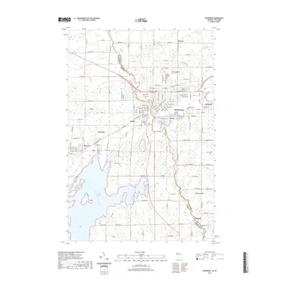
2019 Map of Ironwood
USGS Topo · Published 2019About this map
The Montreal River serves as the dividing line between Wisconsin and Michigan, separating the twin border cities of Hurley and Ironwood. This survey details the urban layout of the Gogebic Range, where local governance is centered at the Iron County Courthouse. The northern portion of the quadrangle is dominated by Mt Zion and the campus of Gogebic Community College, while the surrounding landscape is marked by historic neighborhoods like Jessieville and Aurora. Industrial and residential patterns are visible through the cluster of smaller settlements including Gile, Montreal, and Germania. To the south, the terrain shifts toward more open wetlands and water bodies, including Lake Lavina and the expansive Reins Swamp. Significant local sites for genealogical research include Riverside Cem and St Marys Cem, which flank the northern and southern edges of the urban center.
Find a feature on this map
114 named features on this map. Tap any name to fly to it.
Don’t see what you’re looking for? This feature index may not catch every label — zoom into the map to look around manually.
Map Details
Editions of this 2019 Ironwood Map
This is the sole edition of this map. No revisions or reprints were ever made.
Other maps of this area

1940 · Upson
USGS Topo · 1:48,000

1943 · Little Girls Point
USGS Topo · 1:24,000

1943 · Upson
USGS Topo · 1:48,000

1943 · Ironwood
USGS Topo · 1:48,000

1943 · Little Girl Point
USGS Topo · 1:48,000

1953 · Ashland
USGS Topo · 1:250,000

1955 · Ironwood
USGS Topo · 1:24,000

1955 · Bessemer
USGS Topo · 1:24,000

1955 · Ironwood
USGS Topo · 1:62,500

1956 · North Ironwood
USGS Topo · 1:62,500