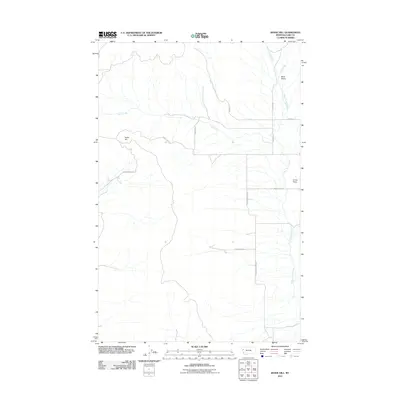
2011 Map of Irvine Hill
USGS Topo · Published 2011About this map
Irvine Hill and the broad landscape of Irvine Flats define this section of Lake County in the early twenty-first century. The terrain is characterized by a series of north-south drainage patterns, including White Earth Creek and the headwaters of Irvine Creek. This rural region is organized by a grid of named local routes and ranch lanes that navigate the drainages, such as Green Mountain Rd and Spring Ranch Ln.
Find a feature on this map
13 named features on this map. Tap any name to fly to it.
Don’t see what you’re looking for? This feature index may not catch every label — zoom into the map to look around manually.
Map Details
Editions of this 2011 Irvine Hill Map
This is the sole edition of this map. No revisions or reprints were ever made.
Other maps of this area

1920 · Flathead Lake
USGS Topo · 1:125,000

1956 · Wallace
USGS Topo · 1:250,000

1960 · Wallace
USGS Topo · 1:250,000

1964 · Buffalo Bridge
USGS Topo · 1:24,000

1964 · Irvine Lookout Tower
USGS Topo · 1:24,000

1964 · Elmo
USGS Topo · 1:24,000

1964 · Markle Pass
USGS Topo · 1:24,000
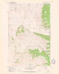
1964 · Niarada
USGS Topo · 1:24,000
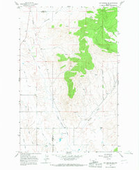
1964 · Hot Springs NE
USGS Topo · 1:24,000

1965 · Oliver Point
USGS Topo · 1:24,000