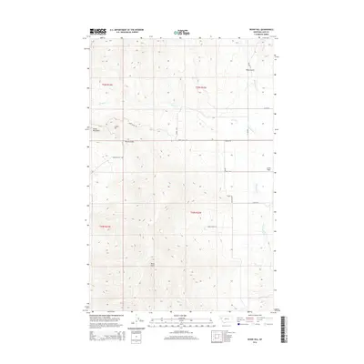
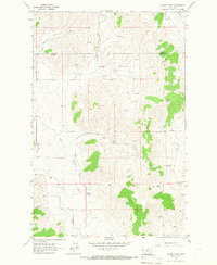
2014 Map of Irvine Hill
USGS Topo · Published 2014About this map
Irvine Flats and the eastern edge of the Salish Mountains define this section of Lake County. The landscape is marked by deep drainages such as Garcon Gulch, Black Gulch, and Oliver Gulch, which channel seasonal water toward the lower elevations. The topography rises sharply to Irvine Hill in the west, while the eastern portion of the sheet levels out into the flats. Modern road networks, including Irvine Flats Rd and Spring Ranch Ln, navigate the base of these ridges. This 2014 survey documents the hydrography of Irvine Cr and White Earth Cr as they flow through the township boundaries of T22N and T23N, illustrating the relationship between the elevated mountain terrain and the ranching lands below.
Find a feature on this map
21 named features on this map. Tap any name to fly to it.
Don’t see what you’re looking for? This feature index may not catch every label — zoom into the map to look around manually.
Map Details
Editions of this 2014 Irvine Hill Map
This is the sole edition of this map. No revisions or reprints were ever made.
Other maps of this area
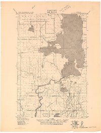
1920 · Flathead Lake
USGS Topo · 1:125,000

1956 · Wallace
USGS Topo · 1:250,000

1960 · Wallace
USGS Topo · 1:250,000
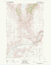
1964 · Buffalo Bridge
USGS Topo · 1:24,000
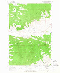
1964 · Irvine Lookout Tower
USGS Topo · 1:24,000
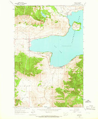
1964 · Elmo
USGS Topo · 1:24,000
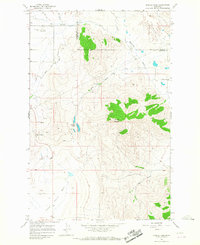
1964 · Markle Pass
USGS Topo · 1:24,000
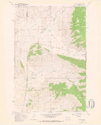
1964 · Niarada
USGS Topo · 1:24,000
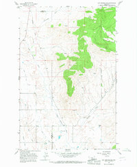
1964 · Hot Springs NE
USGS Topo · 1:24,000
1965 · Oliver Point
USGS Topo · 1:24,000