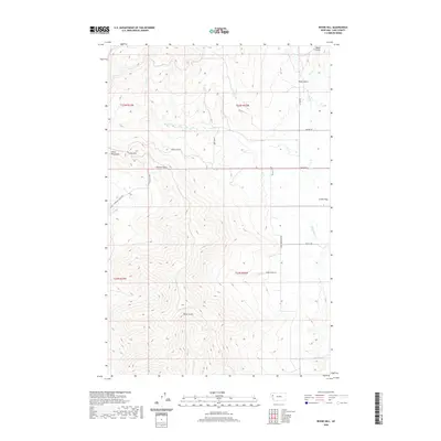
2020 Map of Irvine Hill
USGS Topo · Published 2020About this map
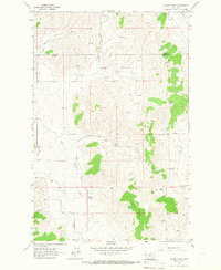
Salish Mountains terrain dominates this 2020 topographic study of Lake County, Montana, where the high ridges of Irvine Hill overlook a complex network of drainages and ranching corridors. The map details the transition from the steep elevations of Garcon Gulch and Oliver Gulch down toward the eastern plateau of Irvine Flats. This area is defined by its watercourses, including Irvine Cr and White Earth Cr, which carve through the landscape. The human presence is mapped through a series of named rural routes such as Irvine Flats Rd and Spring Ranch Ln, reflecting a sparse, high-country settlement pattern centered on the flatlands between mountain ranges. These roads follow natural contours, providing access to remote locations like Garceau Gulch Rd and Pickett Rd near the Vinson Cr headwaters.
Find a feature on this map
24 named features on this map. Tap any name to fly to it.
Don’t see what you’re looking for? This feature index may not catch every label — zoom into the map to look around manually.
Map Details
Editions of this 2020 Irvine Hill Map
This is the sole edition of this map. No revisions or reprints were ever made.
Other maps of this area
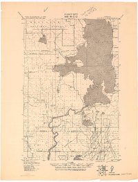
1920 · Flathead Lake
USGS Topo · 1:125,000

1956 · Wallace
USGS Topo · 1:250,000

1960 · Wallace
USGS Topo · 1:250,000
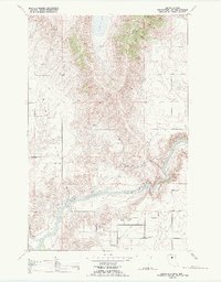
1964 · Buffalo Bridge
USGS Topo · 1:24,000
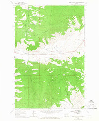
1964 · Irvine Lookout Tower
USGS Topo · 1:24,000
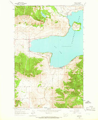
1964 · Elmo
USGS Topo · 1:24,000
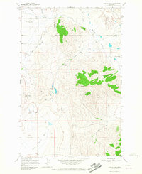
1964 · Markle Pass
USGS Topo · 1:24,000
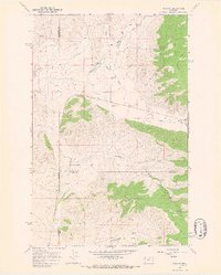
1964 · Niarada
USGS Topo · 1:24,000
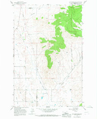
1964 · Hot Springs NE
USGS Topo · 1:24,000
1965 · Oliver Point
USGS Topo · 1:24,000