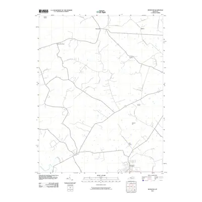
2010 Map of Irvington
USGS Topo · Published 2010About this map
Irvington serves as the primary hub in this portion of Breckinridge County, situated near the southern edge of the survey area. The landscape is defined by the winding course of Sinking Creek and prominent terrain features such as Hogback Hill, Prather Hollow, and Deadhorse Hollow. Smaller rural settlements like Payneville and Sirocco are connected by a network of local routes including Old Sirocco RD and Richardson Landing RD.
Find a feature on this map
32 named features on this map. Tap any name to fly to it.
Don’t see what you’re looking for? This feature index may not catch every label — zoom into the map to look around manually.
Map Details
Editions of this 2010 Irvington Map
This is the sole edition of this map. No revisions or reprints were ever made.
Other maps of this area

1928 · Hardinsburg
USGS Topo · 1:48,000

1931 · Hardinsburg
USGS Topo · 1:62,500

1931 · Corydon
USGS Topo · 1:62,500

1941 · Ekron
USGS Topo · 1:62,500

1947 · Irvington
USGS Topo · 1:24,000

1947 · Lodiburg
USGS Topo · 1:24,000

1947 · Hardinsburg
USGS Topo · 1:24,000

1947 · Garfield
USGS Topo · 1:24,000

1947 · Mauckport
USGS Topo · 1:24,000

1947 · Hardinsburg
USGS Topo · 1:62,500