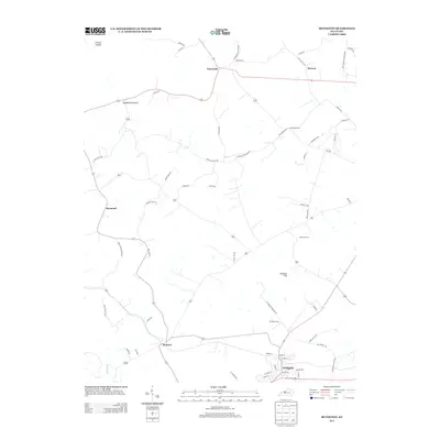
2013 Map of Irvington
USGS Topo · Published 2013About this map
Irvington serves as the primary hub in this corner of Breckinridge County, anchored by a grid of streets like Grand Avenue and High Street. The landscape transitions into a series of smaller rural communities, including Payneville, Webster, and Sirocco, each connected by a network of winding roads. These settlements reflect the agricultural and residential patterns of north-central Kentucky, where small clusters of homes are often defined by their proximity to local landmarks or family-named routes such as Richardson Rd and Fackler Rd.
Find a feature on this map
59 named features on this map. Tap any name to fly to it.
Don’t see what you’re looking for? This feature index may not catch every label — zoom into the map to look around manually.
Map Details
Editions of this 2013 Irvington Map
This is the sole edition of this map. No revisions or reprints were ever made.
Other maps of this area

1928 · Hardinsburg
USGS Topo · 1:48,000

1931 · Hardinsburg
USGS Topo · 1:62,500

1931 · Corydon
USGS Topo · 1:62,500

1941 · Ekron
USGS Topo · 1:62,500

1947 · Irvington
USGS Topo · 1:24,000

1947 · Lodiburg
USGS Topo · 1:24,000

1947 · Hardinsburg
USGS Topo · 1:24,000

1947 · Garfield
USGS Topo · 1:24,000

1947 · Mauckport
USGS Topo · 1:24,000

1947 · Hardinsburg
USGS Topo · 1:62,500