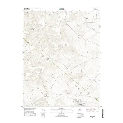
2016 Map of Irvington
USGS Topo · Published 2016About this map
Irvington serves as the primary hub at the southern edge of this landscape, situated along the border of Meade and Breckinridge counties. The topography is defined by the winding course of Sinking Creek and a series of prominent rises including Hogback Hill and Bunker Hill. Small rural settlements like Payneville, Webster, and Sirocco are connected by a web of local roads, reflecting a long-standing agricultural and residential pattern. Genealogists will find significant value in the documentation of local burial grounds such as Mount Merino Cem, Sandy Hill Cem, and Richardson Cem. The map also preserves colorful local place names like Deadhorse Hollow and Prather Hollow, which point to the area's deep-rooted topographical history and traditional land use.
Find a feature on this map
59 named features on this map. Tap any name to fly to it.
Don’t see what you’re looking for? This feature index may not catch every label — zoom into the map to look around manually.
Map Details
Editions of this 2016 Irvington Map
This is the sole edition of this map. No revisions or reprints were ever made.
Other maps of this area

1928 · Hardinsburg
USGS Topo · 1:48,000

1931 · Hardinsburg
USGS Topo · 1:62,500

1931 · Corydon
USGS Topo · 1:62,500

1941 · Ekron
USGS Topo · 1:62,500

1947 · Irvington
USGS Topo · 1:24,000

1947 · Lodiburg
USGS Topo · 1:24,000

1947 · Hardinsburg
USGS Topo · 1:24,000

1947 · Garfield
USGS Topo · 1:24,000

1947 · Mauckport
USGS Topo · 1:24,000

1947 · Hardinsburg
USGS Topo · 1:62,500