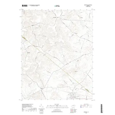
2019 Map of Irvington
USGS Topo · Published 2019About this map
Irvington serves as the primary hub in this portion of the Kentucky landscape, where the boundary between Meade Co and Breckinridge Co shapes the local geography. The area is defined by a series of small, scattered settlements including Payneville, Webster, and Sirocco, connected by a winding network of country roads like Payneville Rd and Hardesty Raymond Rd. The terrain is characterized by a pattern of hills and hollows, such as Bunker Hill and Deadhorse Hollow, which influence the placement of historic family and community landmarks. Researchers will find several significant burial sites documented, including Mount Merino Cem, Sandy Hill Cem, and Richardson Cem, providing valuable touchpoints for genealogical study in this rural corridor. The southern portion of the map is drained by Sinking Creek, which meanders through the lower elevations below Hogback Hill.
Find a feature on this map
70 named features on this map. Tap any name to fly to it.
Don’t see what you’re looking for? This feature index may not catch every label — zoom into the map to look around manually.
Map Details
Editions of this 2019 Irvington Map
This is the sole edition of this map. No revisions or reprints were ever made.
Other maps of this area

1928 · Hardinsburg
USGS Topo · 1:48,000

1931 · Hardinsburg
USGS Topo · 1:62,500

1931 · Corydon
USGS Topo · 1:62,500

1941 · Ekron
USGS Topo · 1:62,500

1947 · Irvington
USGS Topo · 1:24,000

1947 · Lodiburg
USGS Topo · 1:24,000

1947 · Hardinsburg
USGS Topo · 1:24,000

1947 · Garfield
USGS Topo · 1:24,000

1947 · Mauckport
USGS Topo · 1:24,000

1947 · Hardinsburg
USGS Topo · 1:62,500