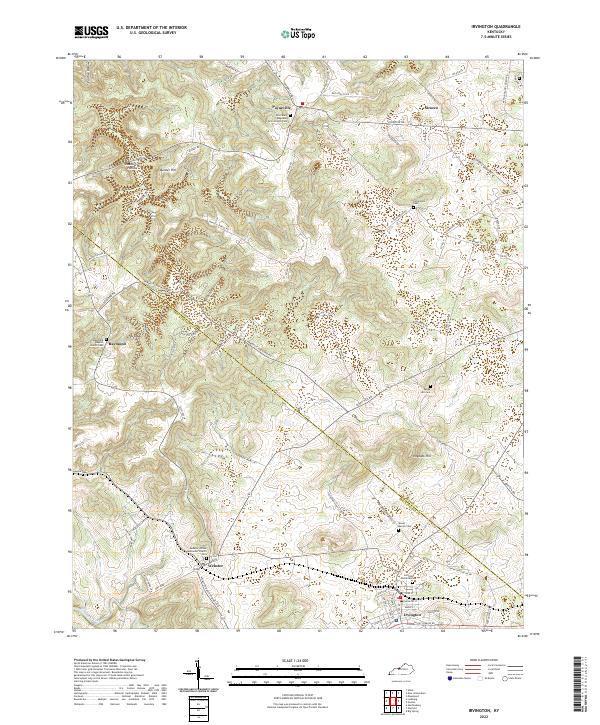
2022 Map of Irvington
USGS Topo · Published 2022About this map
Irvington serves as a primary hub in this portion of the Meade Co Breckinridge Co border region, where a dense network of local roads connects several small rural communities. The map documents a landscape characterized by its namesake hollows and hills, such as Prather Hollow, Deadhorse Hollow, and Hogback Hill, which influence the winding paths of Hardesty Raymond Rd and Sirocco Rd. Genealogists and local historians will find significant value in the documentation of several religious and family sites, including Saint Mary Magdalen of Pazzi Church Cem near Payneville and the Raymond Baptist Church Cem in Raymond. To the south, Webster sits near the headwaters of Sinking Creek, while numerous smaller burial grounds like Mount Merino Cem and Sandy Hill Cem are scattered across the terrain, reflecting the long-established settlement patterns of this Kentucky countryside.
Find a feature on this map
81 named features on this map. Tap any name to fly to it.
Don’t see what you’re looking for? This feature index may not catch every label — zoom into the map to look around manually.
Map Details
Editions of this 2022 Irvington Map
This is the sole edition of this map. No revisions or reprints were ever made.
Other maps of this area

1928 · Hardinsburg
USGS Topo · 1:48,000

1931 · Hardinsburg
USGS Topo · 1:62,500

1931 · Corydon
USGS Topo · 1:62,500

1941 · Ekron
USGS Topo · 1:62,500

1947 · Irvington
USGS Topo · 1:24,000

1947 · Lodiburg
USGS Topo · 1:24,000

1947 · Hardinsburg
USGS Topo · 1:24,000

1947 · Garfield
USGS Topo · 1:24,000

1947 · Mauckport
USGS Topo · 1:24,000

1947 · Hardinsburg
USGS Topo · 1:62,500