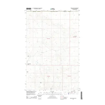
2014 Map of Irvins Coulee
USGS Topo · Published 2014About this map
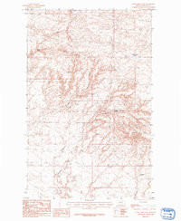
Cherry Ridge Ranch sits in the high plains of northern Blaine County along the United States-Canada border. This remote landscape is defined by the deep incisions of Irvins Coulee and Bennett Coulee, which snake across a plateau dominated by the elevated terrain of Cherry Ridge. The map details a strictly rural and livestock-focused geography, where the E Fork Battle Cr provides critical drainage for the arid surroundings. Transportation is limited to sparse local infrastructure, notably Frenchy Rd, which connects the isolated ranching operations to the broader region. The cartography emphasizes the stark Public Land Survey System grid, which imposes a rigid structure over the naturally winding coulees and ridges of this northern Montana borderland.
Find a feature on this map
13 named features on this map. Tap any name to fly to it.
Don’t see what you’re looking for? This feature index may not catch every label — zoom into the map to look around manually.
Map Details
Editions of this 2014 Irvins Coulee Map
This is the sole edition of this map. No revisions or reprints were ever made.
Other maps of this area
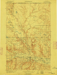
1912 · Zurich
USGS Topo · 1:125,000
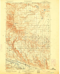
1913 · Cherry Ridge
USGS Topo · 1:125,000

1953 · Havre
USGS Topo · 1:250,000

1957 · Havre
USGS Topo · 1:250,000

1958 · Havre
USGS Topo · 1:250,000
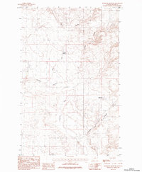
1984 · Richmond Reservoir
USGS Topo · 1:24,000
1984 · Silver Bow Lake
USGS Topo · 1:24,000
1984 · Havre
USGS Topo · 1:100,000
1984 · Aubrey Dam
USGS Topo · 1:24,000
1984 · Silver Bow Spring
USGS Topo · 1:24,000