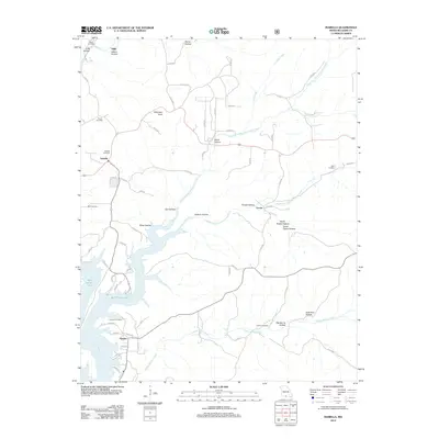
2012 Map of Isabella
USGS Topo · Published 2012About this map
Bull Shoals Lake and the Little North Fork White River anchor the southern reach of this Missouri landscape, where the rising waters of the mid-20th century transformed the local topography. The settlements of Isabella and Pontiac serve as primary hubs, connected by a network of rural county roads that wind through a series of named hollows, including Elm Hollow and Jackson Hollow. This area of Ozark County is characterized by its deeply dissected terrain, evidenced by landmarks like Wilkinson Knob rising above the surrounding drainages.
Find a feature on this map
55 named features on this map. Tap any name to fly to it.
Don’t see what you’re looking for? This feature index may not catch every label — zoom into the map to look around manually.
Map Details
Editions of this 2012 Isabella Map
This is the sole edition of this map. No revisions or reprints were ever made.
Other maps of this area

1890 · Mountain Home
USGS Topo · 1:125,000

1891 · Mountain Home
USGS Topo · 1:125,000

1893 · Yellville
USGS Topo · 1:125,000

1894 · Mountain Home
USGS Topo · 1:125,000

1903 · Yellville
USGS Topo · 1:125,000

1905 · Yellville
USGS Topo · 1:125,000

1929 · Yellville
USGS Topo · 1:125,000

1934 · Gainesville
USGS Topo · 1:48,000

1936 · Thornfield
USGS Topo · 1:48,000

1940 · Gainesville
USGS Topo · 1:62,500