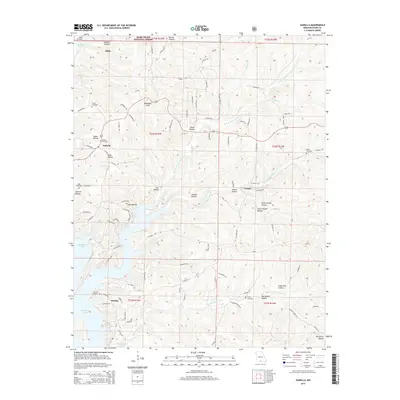
2015 Map of Isabella
USGS Topo · Published 2015About this map
Bull Shoals Lake dominates the southern reaches of this landscape, its indented shoreline carving into the Ozark Plateau near the Arkansas border. Small rural communities like Isabella and Pontiac serve as focal points for the region, connected by a network of winding roads including Van Buren Dr and Honeycutt Rd. The terrain is defined by a dense system of hollows, such as Jackson Hollow and Big Spring Hollow, which channel water toward the lake and its various creek systems like N Fork Bratten Spring Cr.
Find a feature on this map
94 named features on this map. Tap any name to fly to it.
Don’t see what you’re looking for? This feature index may not catch every label — zoom into the map to look around manually.
Map Details
Editions of this 2015 Isabella Map
This is the sole edition of this map. No revisions or reprints were ever made.
Other maps of this area
1890 · Mountain Home
USGS Topo · 1:125,000
1891 · Mountain Home
USGS Topo · 1:125,000
1893 · Yellville
USGS Topo · 1:125,000
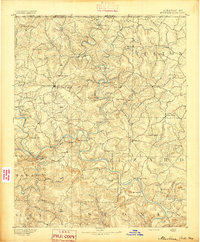
1894 · Mountain Home
USGS Topo · 1:125,000
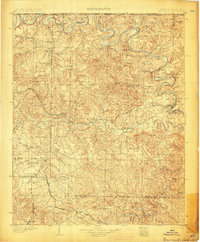
1903 · Yellville
USGS Topo · 1:125,000
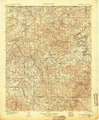
1905 · Yellville
USGS Topo · 1:125,000
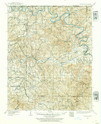
1929 · Yellville
USGS Topo · 1:125,000
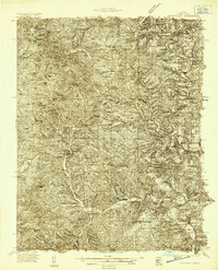
1934 · Gainesville
USGS Topo · 1:48,000
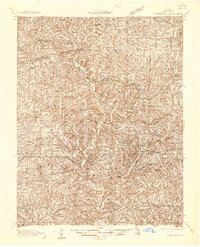
1936 · Thornfield
USGS Topo · 1:48,000
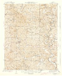
1940 · Gainesville
USGS Topo · 1:62,500