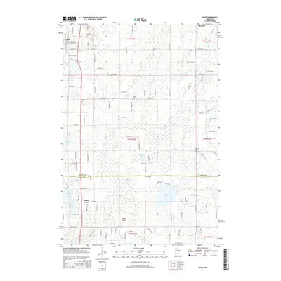
2016 Map of Isanti
USGS Topo · Published 2016About this map
Isanti and East Bethel anchor this 2016 survey along the boundary of Isanti and Anoka counties. The landscape is a complex mosaic of glacial wetlands and small lakes, including Fish Lake, Stratton Lake, and Cedar Bog Lake. These water bodies are connected by a network of drainage features like Ditch Number Nineteen and the winding course of the W Br Sunrise River. The map reveals a high density of small rural burial grounds, such as Isanti Union Cem, Athens Lutheran Cem, and Fridsborg Cem, which serve as vital markers for family historians tracing early regional lineages.
Find a feature on this map
120 named features on this map. Tap any name to fly to it.
Don’t see what you’re looking for? This feature index may not catch every label — zoom into the map to look around manually.
Map Details
Editions of this 2016 Isanti Map
This is the sole edition of this map. No revisions or reprints were ever made.
Other maps of this area

1916 · St. Francis
USGS Topo · 1:62,500

1919 · St. Francis
USGS Topo · 1:62,500

1953 · Stillwater
USGS Topo · 1:250,000

1955 · Isanti
USGS Topo · 1:62,500

1955 · Stillwater
USGS Topo · 1:250,000

1958 · Stillwater
USGS Topo · 1:250,000

1961 · Bradford
USGS Topo · 1:24,000

1961 · Cambridge
USGS Topo · 1:62,500

1961 · Dalbo
USGS Topo · 1:62,500

1965 · Stillwater
USGS Topo · 1:250,000