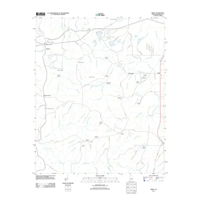
2011 Map of Isbell
USGS Topo · Published 2011About this map
Belgreen and the neighboring community of Rockwood serve as the primary hubs in this part of Franklin County, where the landscape is defined by the sharp transition between creek valleys and upland ridges. The area is exceptionally rich in family burial sites and historical landmarks, ranging from the Old Belgreen Cemetery to the Pounders-Quinn Cemetery. The northern section is dominated by the winding path of Cedar Creek, while Little Bear Creek carves through the southern reaches. Evidence of the local industrial past persists in labels like Pinkney Mine Rd near Isbell. Between these points, numerous hollows such as Pounders Hollow and Spring Hollow sheltered small settlements and family farms, many of which are preserved here through specific road names and land-use patterns documented just after the first decade of the 2000s.
Find a feature on this map
114 named features on this map. Tap any name to fly to it.
Don’t see what you’re looking for? This feature index may not catch every label — zoom into the map to look around manually.
Map Details
Editions of this 2011 Isbell Map
This is the sole edition of this map. No revisions or reprints were ever made.
Other maps of this area

1924 · Tuscumbia
USGS Topo · 1:48,000

1925 · Barton
USGS Topo · 1:62,500

1926 · Tuscumbia
USGS Topo · 1:62,500

1926 · Barton
USGS Topo · 1:48,000

1929 · Barton
USGS Topo · 1:62,500

1936 · Russellville
USGS Topo · 1:24,000

1936 · Frankfort
USGS Topo · 1:24,000

1936 · Pleasant Grove
USGS Topo · 1:24,000

1936 · Hodges
USGS Topo · 1:24,000

1936 · Isbell
USGS Topo · 1:24,000