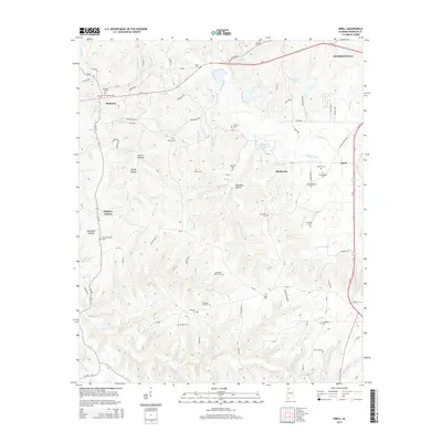
2014 Map of Isbell
USGS Topo · Published 2014About this map
Russellville and the surrounding rural landscape of Franklin County are defined by a network of family-named cemeteries and creek valleys. This 2014 edition illustrates the modern layout of major thoroughfares like the Al-24 and Us-43, which intersect near the eastern settlements. The map preserves the historical alignment of the Jackson Military Rd as it approaches Isbell, a notable landmark for researchers of early Alabama transit routes.
Find a feature on this map
107 named features on this map. Tap any name to fly to it.
Don’t see what you’re looking for? This feature index may not catch every label — zoom into the map to look around manually.
Map Details
Editions of this 2014 Isbell Map
This is the sole edition of this map. No revisions or reprints were ever made.
Other maps of this area

1924 · Tuscumbia
USGS Topo · 1:48,000

1925 · Barton
USGS Topo · 1:62,500

1926 · Tuscumbia
USGS Topo · 1:62,500

1926 · Barton
USGS Topo · 1:48,000

1929 · Barton
USGS Topo · 1:62,500

1936 · Russellville
USGS Topo · 1:24,000

1936 · Frankfort
USGS Topo · 1:24,000

1936 · Pleasant Grove
USGS Topo · 1:24,000

1936 · Hodges
USGS Topo · 1:24,000

1936 · Isbell
USGS Topo · 1:24,000