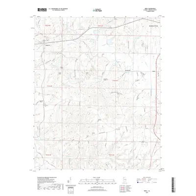
2018 Map of Isbell
USGS Topo · Published 2018About this map
Belgreen and the industrial activity around Isbell anchor this study of the Franklin County landscape. The eastern edge is defined by the Norfolk Southern rail line and the community of Rockwood, while the western portion is marked by the historical path of the Jackson Military Rd, a significant early thoroughfare through the region. This 2018 survey reveals a topography characterized by numerous hollows and ridge systems, including Mullins Ridge and Head Mill Hollow.
Find a feature on this map
130 named features on this map. Tap any name to fly to it.
Don’t see what you’re looking for? This feature index may not catch every label — zoom into the map to look around manually.
Map Details
Editions of this 2018 Isbell Map
This is the sole edition of this map. No revisions or reprints were ever made.
Other maps of this area
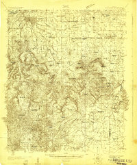
1924 · Tuscumbia
USGS Topo · 1:48,000
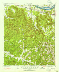
1925 · Barton
USGS Topo · 1:62,500
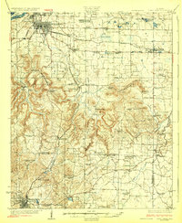
1926 · Tuscumbia
USGS Topo · 1:62,500
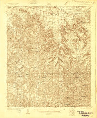
1926 · Barton
USGS Topo · 1:48,000
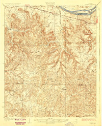
1929 · Barton
USGS Topo · 1:62,500
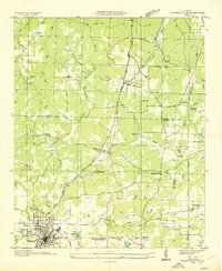
1936 · Russellville
USGS Topo · 1:24,000
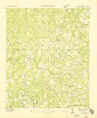
1936 · Frankfort
USGS Topo · 1:24,000
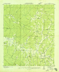
1936 · Pleasant Grove
USGS Topo · 1:24,000
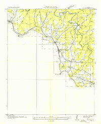
1936 · Hodges
USGS Topo · 1:24,000
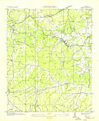
1936 · Isbell
USGS Topo · 1:24,000