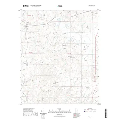
2020 Map of Isbell
USGS Topo · Published 2020About this map
The community of Belgreen and the industrial corridors of Rockwood and Isbell define this landscape south of Russellville. A remarkable density of family and community burial grounds, such as Pleasant Hill Cem and Mount Hebron Cem, are found throughout the region, offering a rich map for genealogical research. The historic Jackson Military Rd cuts across the southern portion of the quadrangle, following a legacy route through the northern Alabama hills. Waterways like Hamilton Cr and Little Bear Cr weave through a terrain marked by deep hollows, including Pounders Hollow and Head Mill Hollow. The presence of both the Old Belgreen Cem and the newer Belgreen Cem suggests the long-standing settlement patterns of this rural Franklin County area.
Find a feature on this map
118 named features on this map. Tap any name to fly to it.
Don’t see what you’re looking for? This feature index may not catch every label — zoom into the map to look around manually.
Map Details
Editions of this 2020 Isbell Map
This is the sole edition of this map. No revisions or reprints were ever made.
Other maps of this area

1924 · Tuscumbia
USGS Topo · 1:48,000

1925 · Barton
USGS Topo · 1:62,500

1926 · Tuscumbia
USGS Topo · 1:62,500

1926 · Barton
USGS Topo · 1:48,000

1929 · Barton
USGS Topo · 1:62,500

1936 · Russellville
USGS Topo · 1:24,000

1936 · Frankfort
USGS Topo · 1:24,000

1936 · Pleasant Grove
USGS Topo · 1:24,000

1936 · Hodges
USGS Topo · 1:24,000

1936 · Isbell
USGS Topo · 1:24,000