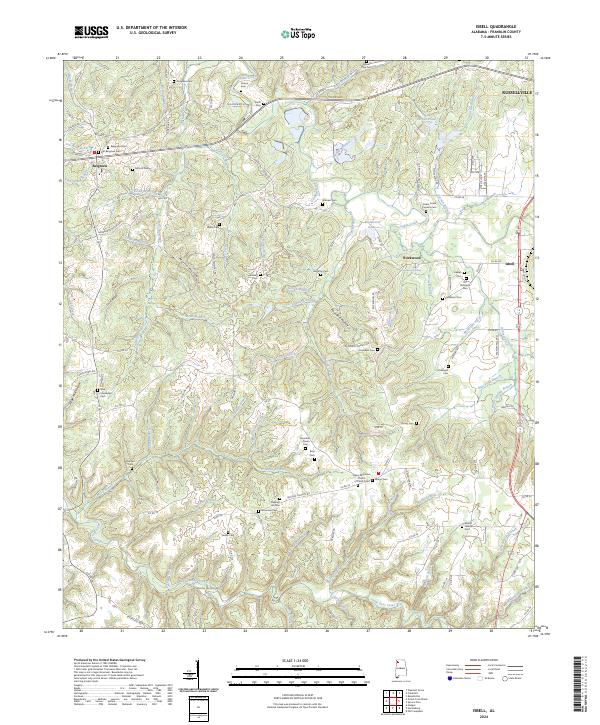
2024 Map of Isbell
USGS Topo · Published 2024About this map
The rural landscape of Franklin County is defined by its numerous small burial grounds and family-named landmarks. Settlements like Belgreen and Rockwood are surrounded by a dense network of cemeteries that serve as vital records for genealogists, including the Belgreen Cem, Old Robinson Cem, and Keelen Cem. The area around Isbell is particularly noteworthy for the Cedar Creek Furnace Cem, which hints at the early industrial roots of the region. The terrain is deeply etched by watercourses such as Cedar Creek, Hamilton Creek, and Little Bear Creek, creating a series of hollows like Pounders Hollow and Martin Hollow. These geographical features influenced the placement of early homesteads and community structures, such as the Quinn Memorial Church of Christ and various family cemeteries like the McWright Cem and Tompkins Cem, which are scattered throughout the wooded ridges and creek bottoms.
Find a feature on this map
131 named features on this map. Tap any name to fly to it.
Don’t see what you’re looking for? This feature index may not catch every label — zoom into the map to look around manually.
Map Details
Editions of this 2024 Isbell Map
This is the sole edition of this map. No revisions or reprints were ever made.
Other maps of this area

1924 · Tuscumbia
USGS Topo · 1:48,000

1925 · Barton
USGS Topo · 1:62,500

1926 · Tuscumbia
USGS Topo · 1:62,500

1926 · Barton
USGS Topo · 1:48,000

1929 · Barton
USGS Topo · 1:62,500

1936 · Russellville
USGS Topo · 1:24,000

1936 · Frankfort
USGS Topo · 1:24,000

1936 · Pleasant Grove
USGS Topo · 1:24,000

1936 · Hodges
USGS Topo · 1:24,000

1936 · Isbell
USGS Topo · 1:24,000