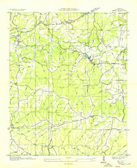
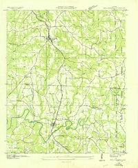
1936 Map of Isbell
USGS Topo · Published 1936About this map
The Old Chickasaw Bdy cuts through the northwest corner of this 1936 survey, anchoring a rural Franklin County landscape during the era of Tennessee Valley Authority development. Regional industry is centered at Rockwood, where the Southern Railway serves local quarries and an Mine (Abandoned) sits just north of Highway No 24. This map captures the intricate network of family homesteads and communities before modern consolidation, marked by numerous small burial grounds such as Pounders Cem, Graham Cem, and Mc Wright Cem.
Find a feature on this map
82 named features on this map. Tap any name to fly to it.
Don’t see what you’re looking for? This feature index may not catch every label — zoom into the map to look around manually.
Map Details
Editions of this 1936 Isbell Map
This is the sole edition of this map. No revisions or reprints were ever made.
Other maps of this area

1924 · Tuscumbia
USGS Topo · 1:48,000
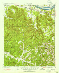
1925 · Barton
USGS Topo · 1:62,500

1926 · Tuscumbia
USGS Topo · 1:62,500
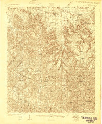
1926 · Barton
USGS Topo · 1:48,000
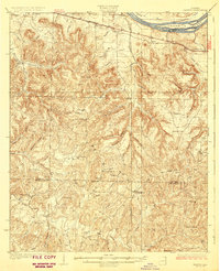
1929 · Barton
USGS Topo · 1:62,500
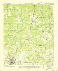
1936 · Russellville
USGS Topo · 1:24,000
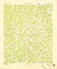
1936 · Frankfort
USGS Topo · 1:24,000
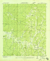
1936 · Pleasant Grove
USGS Topo · 1:24,000
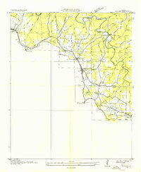
1936 · Hodges
USGS Topo · 1:24,000
1936 · Phil Campbell
USGS Topo · 1:24,000